Glenavy Suburbs & Region, Glenavy Map & Postcodes in Glenavy, Waimate, Canterbury
Glenavy Postcodes, Glenavy ZipCodes, Glenavy , Glenavy Canterbury, Glenavy Suburbs, Glenavy Region, Glenavy Map, Glenavy Area
Glenavy Region (Tawai Region)
Glenavy Suburbs
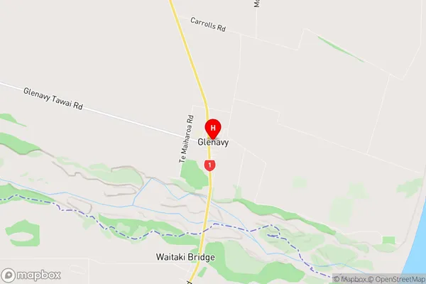
Glenavy is a suburb place type in Waimate, Canterbury, NZ. It contains 0 suburbs or localities.Glenavy Region Map
Glenavy Introduction
Glenavy is a small rural community in Canterbury, New Zealand. It is located in the Ashburton District and is part of the Mid Canterbury region. The village is surrounded by farmland and has a population of around 100 people. The main industry in Glenavy is farming, with sheep and beef being the primary crops. The village also has a small community hall and a post office. Glenavy is located about 30 minutes from Ashburton and 1 hour from Christchurch. The nearest airport is in Ashburton, and the nearest major town is Timaru.Glenavy Region
Glenavy City
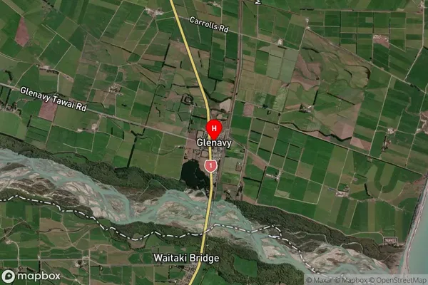
Glenavy Satellite Map
Full Address
Glenavy, Waimate, CanterburyGlenavy Coordinates
-44.915265,171.101758 (Latitude / Longitude)Glenavy Map in NZ
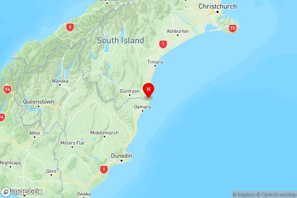
NZ Island
South IslandCountry
Glenavy Area Map (Polygon)
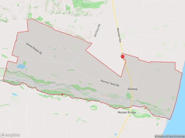
Name
GlenavyAdditional Name
TawaiLocal Authority
Waimate District