Swannanoa Suburbs & Region, Swannanoa Map & Postcodes in Swannanoa, Waimakariri, Canterbury
Swannanoa Postcodes, Swannanoa ZipCodes, Swannanoa , Swannanoa Canterbury, Swannanoa Suburbs, Swannanoa Region, Swannanoa Map, Swannanoa Area
Swannanoa Region (Eyreton Region)
Swannanoa Suburbs
Swannanoa is a suburb place type in Waimakariri, Canterbury, NZ. It contains 0 suburbs or localities.Swannanoa district
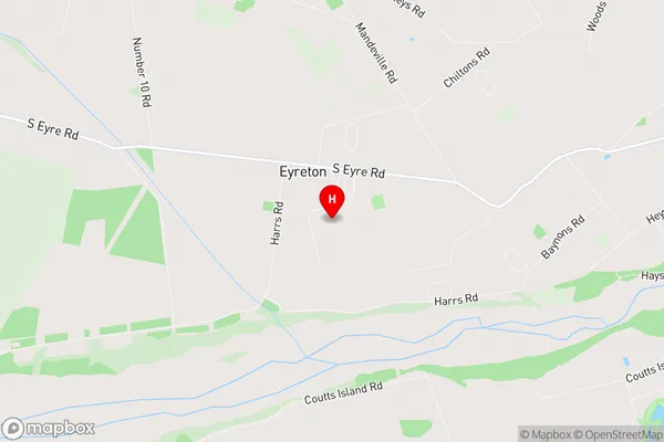
WaimakaririSwannanoa Region Map
Swannanoa Introduction
Swannanoa is a small rural community located in the Canterbury region of New Zealand. It is situated on the banks of the Rakaia River, approximately 10 kilometers south of Christchurch. The community has a population of around 300 people and is known for its scenic surroundings, including rolling hills, farmland, and picturesque gardens. Swannanoa is a popular destination for outdoor enthusiasts, with numerous hiking and biking trails nearby. The community also has a primary school, a post office, and a small supermarket.Swannanoa Region
Swannanoa City
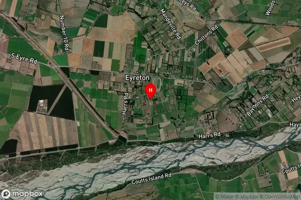
Swannanoa Satellite Map
Full Address
Swannanoa, Waimakariri, CanterburySwannanoa Coordinates
-43.42128,172.546454 (Latitude / Longitude)Swannanoa Map in NZ
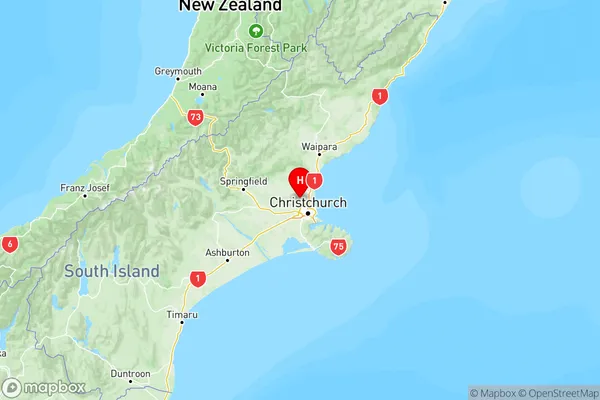
NZ Island
South IslandCountry
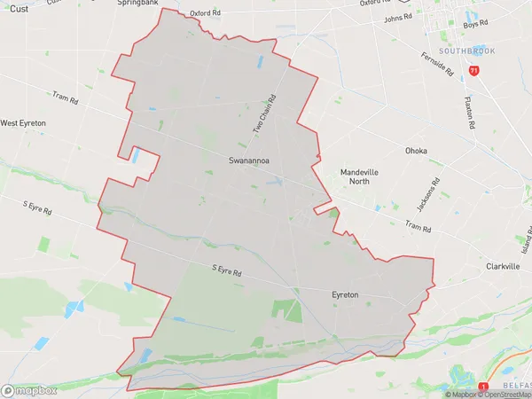
Swannanoa Area Map (Polygon)
Name
SwannanoaAdditional Name
EyretonLocal Authority
Waimakariri District
Swannanoa Suburbs (Sort by Population)
Swannanoa also known as Eyreton. Swannanoa suburb has around
150.1 square
kilometers.There are more than 3623 people (estimated)
live in Swannanoa, Kaiapoi, Canterbury, New Zealand.