Mt Cook Suburbs & Region, Mt Cook Map & Postcodes in Mt Cook, Mackenzie, Canterbury
Mt Cook Postcodes, Mt Cook ZipCodes, Mt Cook , Mt Cook Canterbury, Mt Cook Suburbs, Mt Cook Region, Mt Cook Map, Mt Cook Area
Mt Cook Region (Mt Cook Region)
Mt Cook Suburbs
Mt Cook is a suburb place type in Mackenzie, Canterbury, NZ. It contains 0 suburbs or localities.Mt Cook district
MackenzieMt Cook Region Map
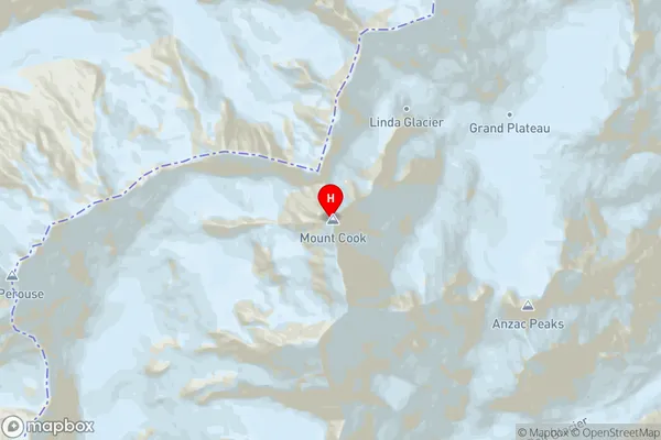
Mt Cook Introduction
Mount Cook is a mountain in the Southern Alps of New Zealand. It is the highest mountain in New Zealand, with a height of 3,724 meters (12,218 feet). The mountain is located in the Canterbury region of New Zealand and is a popular destination for mountaineers, hikers, and tourists. Mount Cook is known for its stunning alpine scenery, including glaciers, lakes, and waterfalls. The mountain is also home to a variety of wildlife, including kea, mountain goats, and snowbirds.Mt Cook Region
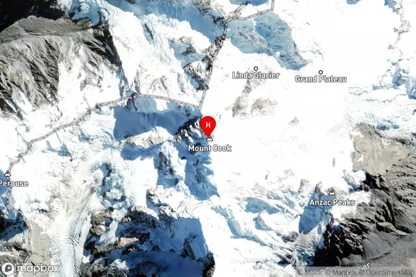
Mt Cook Satellite Map
Full Address
Mt Cook, Mackenzie, CanterburyMt Cook Coordinates
-43.5949749,170.1417883 (Latitude / Longitude)Mt Cook Map in NZ
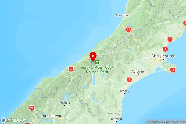
NZ Island
South IslandCountry
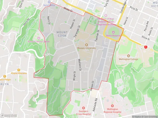
Mt Cook Area Map (Polygon)
Name
Mount CookAdditional Name
Mt CookLocal Authority
Wellington City
Mt Cook Suburbs (Sort by Population)
Mount Cook also known as Mt Cook. Mount Cook suburb has around
1.3 square
kilometers.There are more than 7625 people (estimated)
live in Mount Cook, Wellington, Wellington, New Zealand.