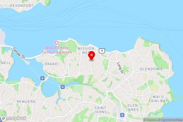
Kohimarama Suburbs & Region, Kohimarama Map & Postcodes in Kohimarama, Auckland Central, Auckland, North Island, New Zealand
Kohimarama Postcodes, Kohimarama ZipCodes, Kohimarama , Kohimarama Auckland, Kohimarama Suburbs, Kohimarama Region, Kohimarama Map, Kohimarama Area
Kohimarama Region (St Johns Region)
Kohimarama Suburbs
Kohimarama is a suburb place type in Auckland Central, Auckland, North Island, New Zealand, NZ. It contains 0 suburbs or localities.Kohimarama Postcodes
Kohimarama district
Auckland CentralKohimarama Region Map

Kohimarama Introduction
Kohimarama is a beachside suburb of Auckland, New Zealand, located on the eastern coast of the Waitemata Harbour. It is known for its stunning beaches, lush green parks, and vibrant community. The suburb has a population of around 10,000 people and is located 10 kilometers from Auckland City Centre. Kohimarama has a rich history and was once home to the Maori people. The area was first settled by Europeans in the 1850s and was named after the Kohimarama Bay, which is located at the suburb's southern end. The bay is a popular spot for swimming, surfing, and fishing, and is surrounded by picturesque cliffs and beaches. Kohimarama is also home to a number of popular restaurants, cafes, and bars, including the famous Beachhouse restaurant, which is located on the beachfront. The suburb is well-connected to other parts of Auckland, with regular bus and train services operating to and from the city. It is also within easy reach of the Auckland Harbour Bridge, which provides access to the North Shore and other parts of the city.Kohimarama Region
Kohimarama City
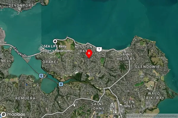
Kohimarama Satellite Map

Full Address
Kohimarama, Auckland Central, Auckland, North Island, New ZealandKohimarama Coordinates
-36.854559,174.836834 (Latitude / Longitude)Kohimarama Map in NZ

NZ Island
North IslandCountry
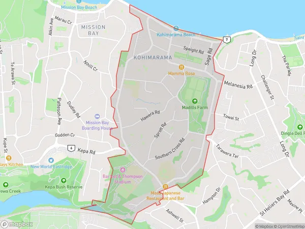
Kohimarama Area Map (Polygon)

Name
KohimaramaAdditional Name
St JohnsLocal Authority
Auckland
Kohimarama Suburbs (Sort by Population)
Kohimarama also known as St Johns. Kohimarama suburb has around
1.9 square
kilometers.There are more than 4671 people (estimated)
live in Kohimarama, Ōrākei, Auckland, New Zealand.