MacDonald Downs Suburbs & Region, MacDonald Downs Map & Postcodes in MacDonald Downs, Hurunui, Canterbury
MacDonald Downs Postcodes, MacDonald Downs ZipCodes, MacDonald Downs , MacDonald Downs Canterbury, MacDonald Downs Suburbs, MacDonald Downs Region, MacDonald Downs Map, MacDonald Downs Area
MacDonald Downs Region
MacDonald Downs Suburbs
MacDonald Downs is a suburb place type in Hurunui, Canterbury, NZ. It contains 0 suburbs or localities.MacDonald Downs district
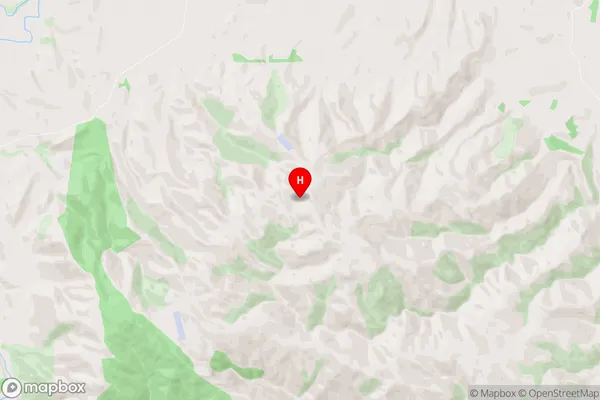
HurunuiMacDonald Downs Region Map

MacDonald Downs Introduction
MacDonald Downs is a farm located in the Canterbury region of New Zealand. It is situated in the Ashburton District and is known for its high-quality wool and beef production. The farm was established in 1863 by Donald McDonald, who came to New Zealand from Scotland. The property covers over 1,000 hectares and is home to a herd of approximately 1,500 sheep and 500 cattle. MacDonald Downs is committed to sustainable farming practices and has implemented a number of initiatives to reduce its environmental footprint. These include using renewable energy sources, implementing water conservation measures, and promoting biodiversity on the farm. The farm also produces a range of wool products, including yarn and blankets, which are sold internationally. MacDonald Downs is a significant contributor to the New Zealand economy and is recognized for its commitment to quality and sustainability.MacDonald Downs Region
MacDonald Downs City
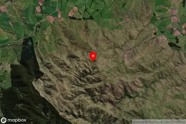
MacDonald Downs Satellite Map

Full Address
MacDonald Downs, Hurunui, CanterburyMacDonald Downs Coordinates
-42.99917,172.600385 (Latitude / Longitude)MacDonald Downs Map in NZ

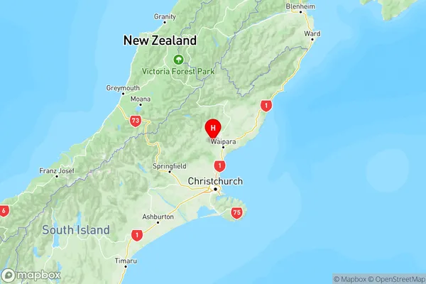
NZ Island
South IslandCountry
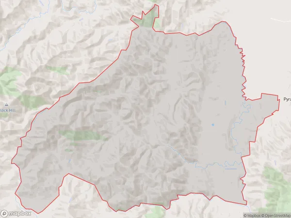
MacDonald Downs Area Map (Polygon)

Name
MacDonald DownsAdditional Name
Local Authority
Hurunui District
MacDonald Downs Suburbs (Sort by Population)
MacDonald Downs suburb has around
241.3 square
kilometers.There are more than 116 people (estimated)
live in MacDonald Downs, Hawarden, Canterbury, New Zealand.