Russley Suburbs & Region, Russley Map & Postcodes in Russley, Christchurch City, Canterbury
Russley Postcodes, Russley ZipCodes, Russley , Russley Canterbury, Russley Suburbs, Russley Region, Russley Map, Russley Area
Russley Region (Masham Region)
Russley Suburbs
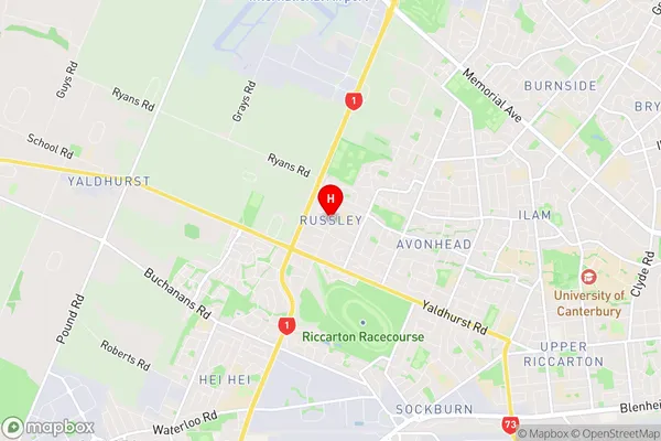
Russley is a suburb place type in Christchurch City, Canterbury, NZ. It contains 0 suburbs or localities.Russley Region Map

Russley Introduction
Russley is a suburb of Christchurch, New Zealand, located in the eastern suburbs of the city. It is known for its picturesque gardens, tranquil parks, and well-maintained homes. The suburb has a strong community spirit and is home to a variety of shops, restaurants, and recreational facilities. Russley is also well-connected to other parts of the city, with easy access to the motorway and public transportation. The area is popular with families and professionals alike, with a variety of housing options available, from spacious detached homes to compact apartments.Russley Region
Russley City
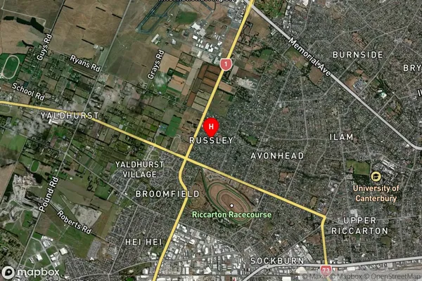
Russley Satellite Map

Full Address
Russley, Christchurch City, CanterburyRussley Coordinates
-43.517167,172.540248 (Latitude / Longitude)Russley Map in NZ

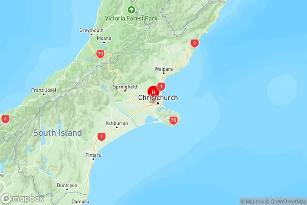
NZ Island
South IslandCountry
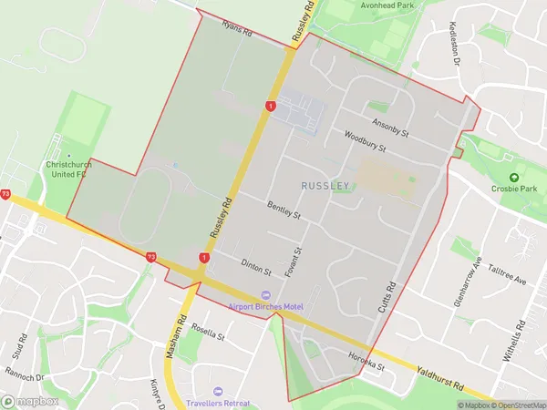
Russley Area Map (Polygon)

Name
RussleyAdditional Name
MashamLocal Authority
Christchurch City
Russley Suburbs (Sort by Population)
Russley also known as Masham. Russley suburb has around
1.6 square
kilometers.There are more than 2647 people (estimated)
live in Russley, Christchurch, Canterbury, New Zealand.