Opawa Suburbs & Region, Opawa Map & Postcodes in Opawa, Christchurch City, Canterbury

Opawa Postcodes, Opawa ZipCodes, Opawa , Opawa Canterbury, Opawa Suburbs, Opawa Region, Opawa Map, Opawa Area

Opawa Region

  • Opawa Suburbs

    Opawa is a suburb place type in Christchurch City, Canterbury, NZ. It contains 0 suburbs or localities.
  • Opawa Postcodes

    80238145
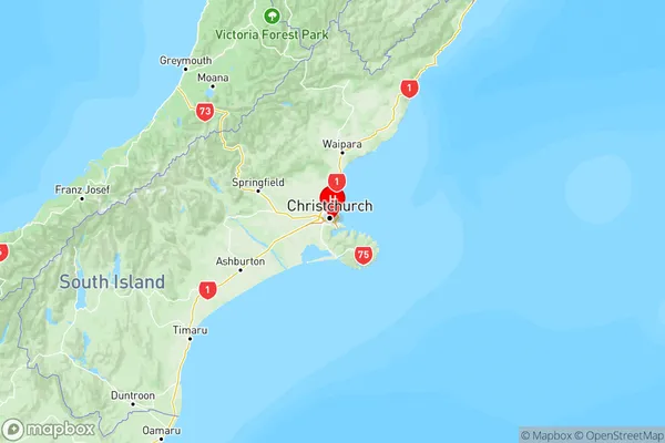
  • Opawa Region Map

    Opawa, Canterbury Region Map
  • Opawa Introduction

    Opawa is a suburb of Christchurch, New Zealand, located 7 kilometers south of the city center. It is known for its picturesque gardens, historic homes, and vibrant community. The suburb was established in the 1850s and has a rich history, with many of its buildings dating back to that time. Opawa is home to a variety of shops, restaurants, and recreational facilities, including the Opawa Park and Recreation Center, the Opawa Zoo, and the Opawa Golf Club. The suburb is also well-connected to the rest of Christchurch, with easy access to the city's motorway network.
  • Opawa Region

  • Opawa City

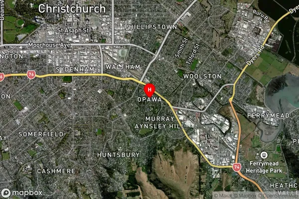
  • Opawa Satellite Map

    Opawa, Canterbury Satellite Map
  • Full Address

    Opawa, Christchurch City, Canterbury
  • Opawa Coordinates

    -43.55369,172.663178 (Latitude / Longitude)
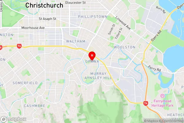
  • Opawa Map in NZ

    Opawa, Canterbury Region Map
  • NZ Island

    South Island
  • Opawa Area Map (Polygon)

    Opawa, Canterbury Polygon Area Map
  • Name

    Opawa
  • Additional Name

  • Local Authority

    Christchurch City

Opawa Suburbs (Sort by Population)

Opawa suburb has around 0.9 square kilometers.There are more than 1374 people (estimated) live in Opawa, Linwood-Central-Heathcote Community, Canterbury, New Zealand.

Opawa Suburbs (Sort in alphabetical)