Mount Pleasant Suburbs & Region, Mount Pleasant Map & Postcodes in Mount Pleasant, Christchurch City, Canterbury
Mount Pleasant Postcodes, Mount Pleasant ZipCodes, Mount Pleasant , Mount Pleasant Canterbury, Mount Pleasant Suburbs, Mount Pleasant Region, Mount Pleasant Map, Mount Pleasant Area
Mount Pleasant Region (Mt Pleasant, Saint Andrews Hill, St Andrews Hill Region)
Mount Pleasant Suburbs
Mount Pleasant is a suburb place type in Christchurch City, Canterbury, NZ. It contains 1 suburbs or localities.Mount Pleasant Introduction
Mount Pleasant is a suburb of Christchurch, New Zealand, located in the eastern suburbs of the city. It is known for its historic homes and gardens, as well as its proximity to the Christchurch Botanic Gardens and the University of Canterbury. The suburb was named after the Mount Pleasant Hill, which was a prominent landmark in the area. Mount Pleasant is a popular residential area, with a mix of older homes and new developments. It is also home to a number of businesses and amenities, including a supermarket, pharmacy, and several restaurants.Mount Pleasant Region
Mount Pleasant City
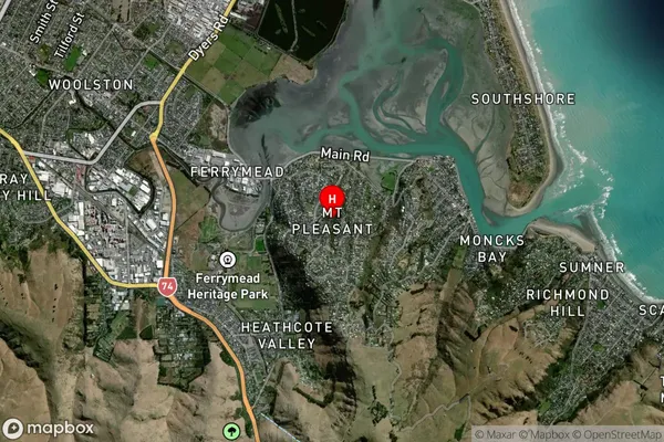
Mount Pleasant Satellite Map

Full Address
Mount Pleasant, Christchurch City, CanterburyMount Pleasant Coordinates
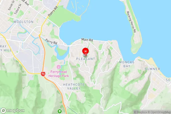
-43.563242,172.718813 (Latitude / Longitude)Mount Pleasant Map in NZ

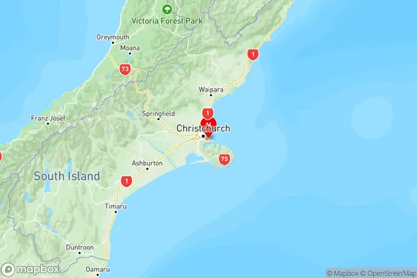
NZ Island
South IslandCountry
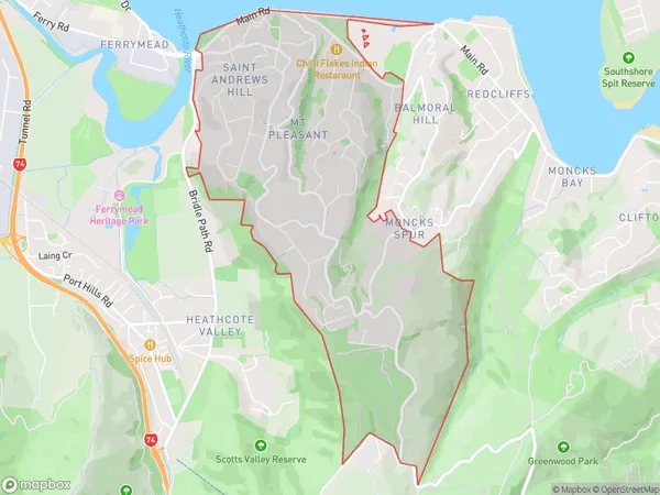
Mount Pleasant Area Map (Polygon)

Name
Mount PleasantAdditional Name
Mt Pleasant, Saint Andrews Hill, St Andrews HillLocal Authority
Christchurch City
Mount Pleasant Suburbs (Sort by Population)
Mount Pleasant
Mount Pleasant - 125
