Ilam Suburbs & Region, Ilam Map & Postcodes in Ilam, Christchurch, Canterbury, South Island, New Zealand
Ilam Postcodes, Ilam ZipCodes, Ilam , Ilam Canterbury, Ilam Suburbs, Ilam Region, Ilam Map, Ilam Area
Ilam Region
Ilam Suburbs
Ilam is a suburb place type in Christchurch, Canterbury, South Island, New Zealand, NZ. It contains 0 suburbs or localities.Ilam district
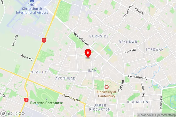
IlamIlam Region Map
Ilam Introduction
Ilam is a suburb of Christchurch, New Zealand, located in the city's eastern suburbs. It is known for its historic buildings, including the Ilam School and the Ilam Hall, and for its vibrant community. The suburb has a strong sense of community spirit and is home to a variety of cultural and recreational facilities, including a library, a sports club, and a community center. Ilam is also well-connected to the rest of Christchurch, with easy access to the city's central business district and public transportation.Ilam Region
Ilam City
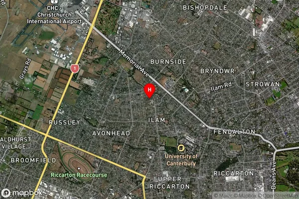
Ilam Satellite Map
Full Address
Ilam, Christchurch, Canterbury, South Island, New ZealandIlam Coordinates
-43.511422,172.569616 (Latitude / Longitude)Ilam Map in NZ
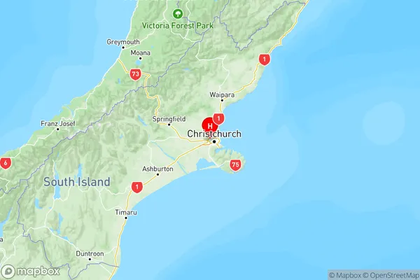
NZ Island
South IslandCountry