Heathcote Valley Suburbs & Region, Heathcote Valley Map & Postcodes in Heathcote Valley, Christchurch City, Canterbury
Heathcote Valley Postcodes, Heathcote Valley ZipCodes, Heathcote Valley , Heathcote Valley Canterbury, Heathcote Valley Suburbs, Heathcote Valley Region, Heathcote Valley Map, Heathcote Valley Area
Heathcote Valley Region
Heathcote Valley Suburbs
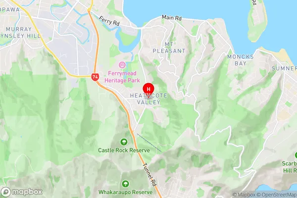
Heathcote Valley is a suburb place type in Christchurch City, Canterbury, NZ. It contains 0 suburbs or localities.Heathcote Valley Region Map

Heathcote Valley Region
Heathcote Valley City
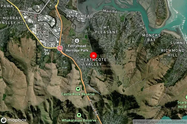
Heathcote Valley Satellite Map

Full Address
Heathcote Valley, Christchurch City, CanterburyHeathcote Valley Coordinates
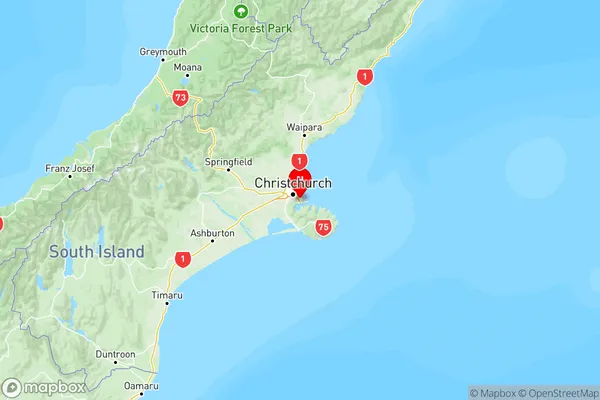
-43.576148,172.711753 (Latitude / Longitude)Heathcote Valley Map in NZ

NZ Island
South IslandCountry
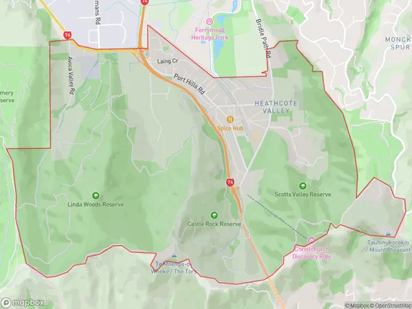
Heathcote Valley Area Map (Polygon)

Name
Heathcote ValleyAdditional Name
Local Authority
Christchurch City
Heathcote Valley Suburbs (Sort by Population)
Heathcote Valley suburb has around
9.9 square
kilometers.There are more than 2246 people (estimated)
live in Heathcote Valley, Linwood-Central-Heathcote Community, Canterbury, New Zealand.