Coutts Island Suburbs & Region, Coutts Island Map & Postcodes in Coutts Island, Christchurch City, Canterbury
Coutts Island Postcodes, Coutts Island ZipCodes, Coutts Island , Coutts Island Canterbury, Coutts Island Suburbs, Coutts Island Region, Coutts Island Map, Coutts Island Area
Coutts Island Region
Coutts Island Suburbs
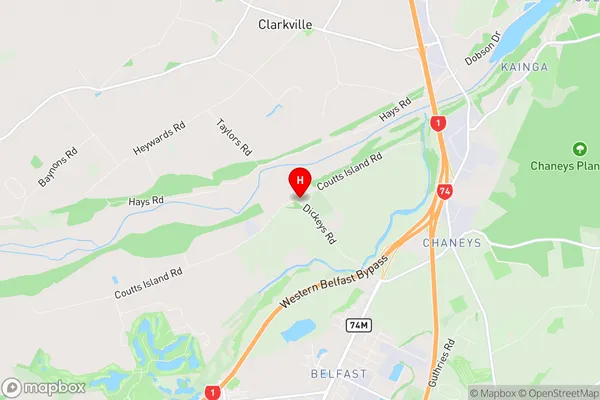
Coutts Island is a suburb place type in Christchurch City, Canterbury, NZ. It contains 0 suburbs or localities.Coutts Island Region Map

Coutts Island Introduction
Coutts Island is a small island located in the Foveaux Strait, between New Zealand's South Island and the Otago Peninsula. It is part of the Canterbury region and is known for its scenic beauty, including rugged cliffs, sandy beaches, and diverse wildlife. The island is uninhabited and is protected as a nature reserve, with limited access for research and conservation purposes. Coutts Island is a popular destination for birdwatchers, with over 100 species of birds recorded on the island, including the rare New Zealand storm petrel. The island also has a rich history, with evidence of human settlement dating back to the early 13th century.Coutts Island Region
Coutts Island City
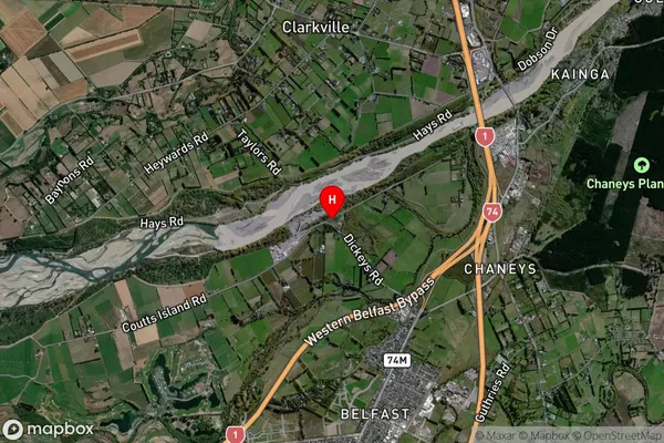
Coutts Island Satellite Map

Full Address
Coutts Island, Christchurch City, CanterburyCoutts Island Coordinates
-43.427195,172.623839 (Latitude / Longitude)Coutts Island Map in NZ

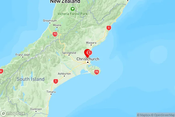
NZ Island
South IslandCountry