Christchurch Airport Suburbs & Region, Christchurch Airport Map & Postcodes in Christchurch Airport, Christchurch City, Canterbury
Christchurch Airport Postcodes, Christchurch Airport ZipCodes, Christchurch Airport , Christchurch Airport Canterbury, Christchurch Airport Suburbs, Christchurch Airport Region, Christchurch Airport Map, Christchurch Airport Area
Christchurch Airport Region (Christchurch International Aerodrome Region)
Christchurch Airport Suburbs
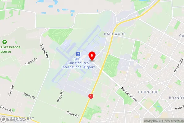
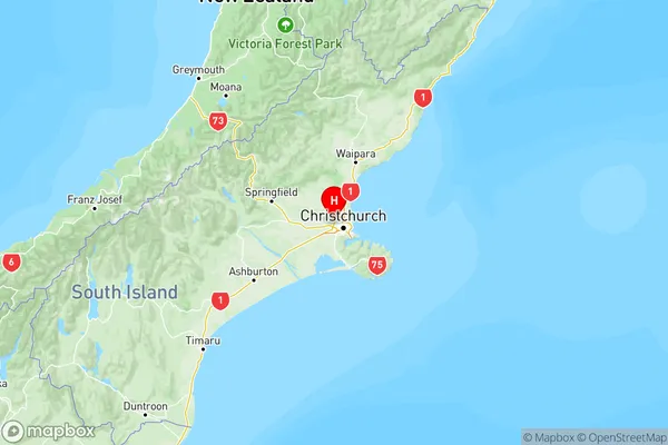
Christchurch Airport is a suburb place type in Christchurch City, Canterbury, NZ. It contains 0 suburbs or localities.Christchurch Airport Region Map

Christchurch Airport Introduction
Christchurch Airport is the primary international airport serving Christchurch, New Zealand. It is located in the city's southeast, approximately 7 kilometers from the central business district. The airport offers a range of services and facilities for passengers, including car rental, banking, and Wi-Fi. It is also home to several airlines, including Air New Zealand, Qantas, and Emirates, which operate flights to a variety of destinations around the world. In 2019, Christchurch Airport handled over 2.2 million passengers and over 200,000 tonnes of cargo.Christchurch Airport Region
Christchurch Airport City
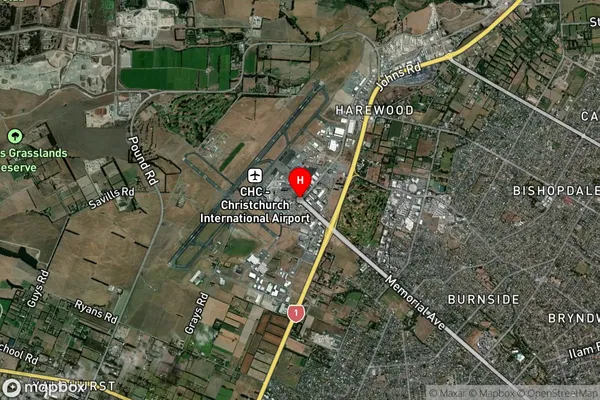
Christchurch Airport Satellite Map

Full Address
Christchurch Airport, Christchurch City, CanterburyChristchurch Airport Coordinates
-43.489578,172.5445592 (Latitude / Longitude)Christchurch Airport Map in NZ

NZ Island
South IslandCountry
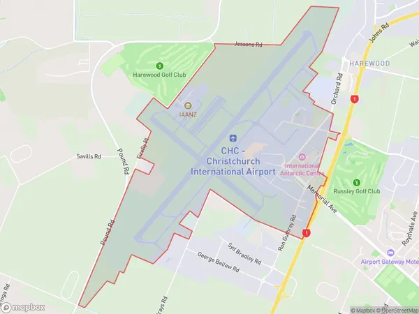
Christchurch Airport Area Map (Polygon)

Name
Christchurch AirportAdditional Name
Christchurch International AerodromeLocal Authority
Christchurch City
Christchurch Airport Suburbs (Sort by Population)
Christchurch Airport also known as Christchurch International Aerodrome. Christchurch Airport suburb has around
5.9 square
kilometers.There are more than 8 people (estimated)
live in Christchurch Airport, Christchurch, Canterbury, New Zealand.