Bishopdale Suburbs & Region, Bishopdale Map & Postcodes in Bishopdale, Christchurch City, Canterbury

Bishopdale Postcodes, Bishopdale ZipCodes, Bishopdale , Bishopdale Canterbury, Bishopdale Suburbs, Bishopdale Region, Bishopdale Map, Bishopdale Area

Bishopdale Region

  • Bishopdale Suburbs

    Bishopdale is a suburb place type in Christchurch City, Canterbury, NZ. It contains 0 suburbs or localities.
  • Bishopdale Postcodes

    80528053
  • Bishopdale Region Map

    Bishopdale, Canterbury Region Map
  • Bishopdale Introduction

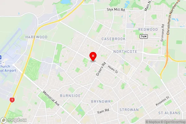
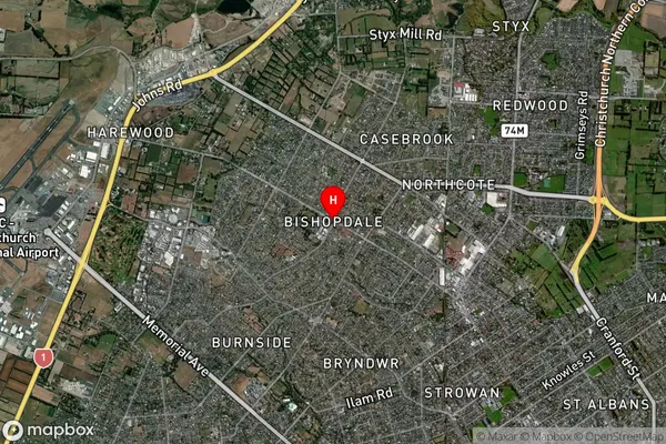
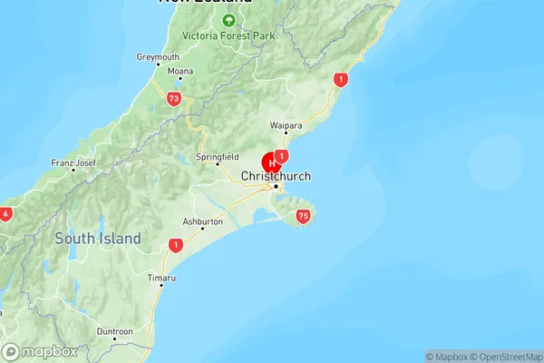
    Bishopdale is a suburb of Christchurch, New Zealand, located in the eastern suburbs of the city. It is known for its scenic views, popular walking and cycling trails, and a vibrant community. The suburb has a mix of residential properties, including single-family homes, apartments, and townhouses. It is also home to several schools, including Bishopdale Primary School, St Bede's College, and Christ's College. The suburb is well-connected to the rest of Christchurch, with easy access to the city center via the State Highway 1 motorway. It is also close to several parks, including Hagley Park and New Brighton Beach, which offer a range of recreational activities.
  • Bishopdale Region

  • Bishopdale City

  • Bishopdale Satellite Map

    Bishopdale, Canterbury Satellite Map
  • Full Address

    Bishopdale, Christchurch City, Canterbury
  • Bishopdale Coordinates

    -43.488434,172.588662 (Latitude / Longitude)
  • Bishopdale Map in NZ

    Bishopdale, Canterbury Region Map
  • NZ Island

    South Island

Bishopdale Suburbs (Sort by Population)

Bishopdale Suburbs (Sort in alphabetical)