Robinsons Bay Suburbs & Region, Robinsons Bay Map & Postcodes in Robinsons Bay, Banks Peninsula, Canterbury
Robinsons Bay Postcodes, Robinsons Bay ZipCodes, Robinsons Bay , Robinsons Bay Canterbury, Robinsons Bay Suburbs, Robinsons Bay Region, Robinsons Bay Map, Robinsons Bay Area
Robinsons Bay Region
Robinsons Bay Suburbs
Robinsons Bay is a suburb place type in Banks Peninsula, Canterbury, NZ. It contains 1 suburbs or localities.Robinsons Bay Postcodes
Robinsons Bay district
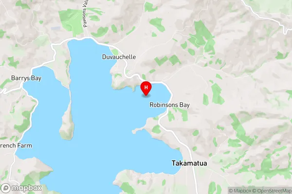
Banks PeninsulaRobinsons Bay Region Map
Robinsons Bay Introduction
Robinsons Bay is a small beach and fishing community located on the eastern coast of the South Island of New Zealand in the Canterbury region. It is known for its stunning natural beauty, including rugged cliffs, sandy beaches, and crystal-clear waters. The bay is a popular spot for swimming, snorkeling, and kayaking, and it is home to a variety of marine life, including penguins, seals, and dolphins. The area also has a rich history, with several historic buildings and sites, including a former Maori settlement and a lighthouse. Robinsons Bay is a peaceful and picturesque community that offers a unique blend of natural beauty and cultural heritage.Robinsons Bay Region
Robinsons Bay City
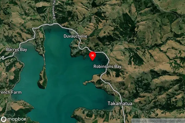
Robinsons Bay Satellite Map
Full Address
Robinsons Bay, Banks Peninsula, CanterburyRobinsons Bay Coordinates
-43.76568,172.954144 (Latitude / Longitude)Robinsons Bay Map in NZ
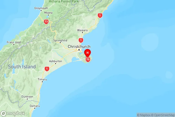
NZ Island
South IslandCountry
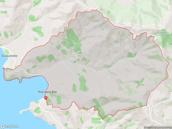
Robinsons Bay Area Map (Polygon)
Name
Robinsons BayAdditional Name
Local Authority
Christchurch City
Robinsons Bay Suburbs (Sort by Population)
Robinsons Bay
Robinsons Bay - 113