Rapahoe Suburbs & Region, Rapahoe Map & Postcodes in Rapahoe, Grey, West Coast
Rapahoe Postcodes, Rapahoe ZipCodes, Rapahoe , Rapahoe West Coast, Rapahoe Suburbs, Rapahoe Region, Rapahoe Map, Rapahoe Area
Rapahoe Region
Rapahoe Suburbs
Rapahoe is a suburb place type in Grey, West Coast, NZ. It contains 0 suburbs or localities.Rapahoe Postcodes
Rapahoe district
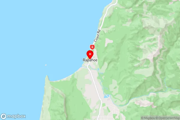
GreyRapahoe Region Map
Rapahoe Introduction
Rapahoe is a small rural community on the West Coast of New Zealand's South Island. It is located in the Grey District and is known for its scenic surroundings, including the nearby Grey Glacier and the rugged coastline. The community has a population of around 100 people and is home to a primary school, a post office, and a small supermarket. Rapahoe is a popular destination for outdoor enthusiasts, with many opportunities for hiking, fishing, and hunting. The area is also known for its rich cultural heritage, with several historic buildings and sites located throughout the community.Rapahoe Region
Rapahoe City
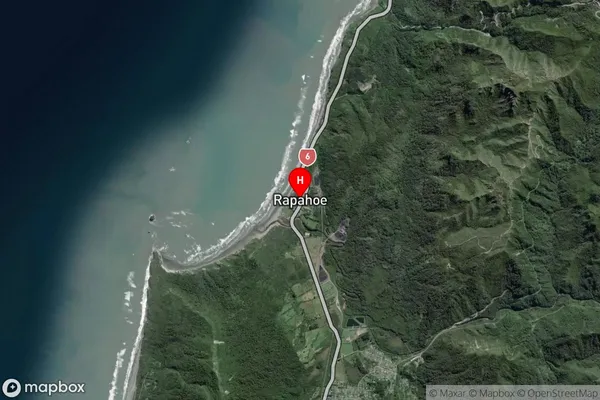
Rapahoe Satellite Map
Full Address
Rapahoe, Grey, West CoastRapahoe Coordinates
-42.373273,171.243674 (Latitude / Longitude)Rapahoe Map in NZ
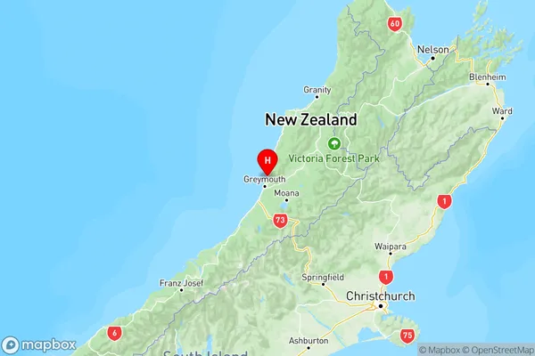
NZ Island
South IslandCountry
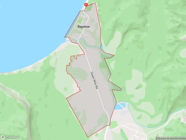
Rapahoe Area Map (Polygon)
Name
RapahoeAdditional Name
Local Authority
Grey District
Rapahoe Suburbs (Sort by Population)
Rapahoe suburb has around
2.3 square
kilometers.There are more than 110 people (estimated)
live in Rapahoe, Greymouth, West Coast, New Zealand.