Paroa Suburbs & Region, Paroa Map & Postcodes in Paroa, Grey, West Coast
Paroa Postcodes, Paroa ZipCodes, Paroa , Paroa West Coast, Paroa Suburbs, Paroa Region, Paroa Map, Paroa Area
Paroa Region (South Beach Region)
Paroa Suburbs
Paroa is a suburb place type in Grey, West Coast, NZ. It contains 0 suburbs or localities.Paroa Postcodes
Paroa district
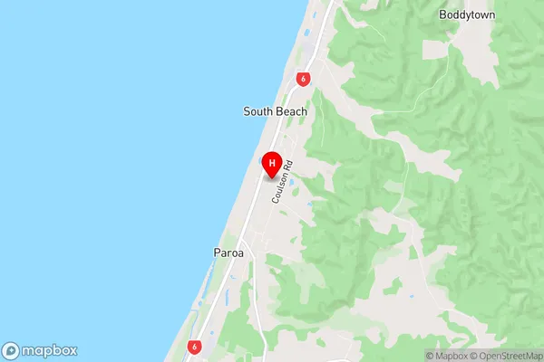
GreyParoa Region Map
Paroa Introduction
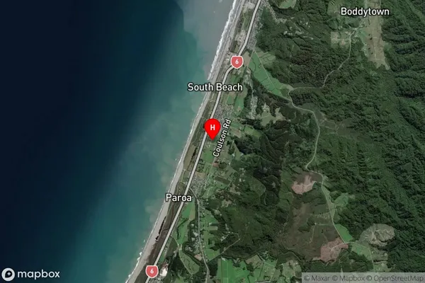
Paroa is a small settlement on the West Coast of New Zealand's South Island. It is located in the Grey District and is known for its stunning natural surroundings, including the Paroa Forest and the Paroa River. The settlement has a population of around 100 people and is a popular destination for outdoor enthusiasts, with many opportunities for hiking, fishing, and hunting. The area is also home to a number of historic buildings, including the Paroa Hotel, which was built in 1887.Paroa Region
Paroa City
Paroa Satellite Map
Full Address
Paroa, Grey, West CoastParoa Coordinates
-42.504019,171.173591 (Latitude / Longitude)Paroa Map in NZ
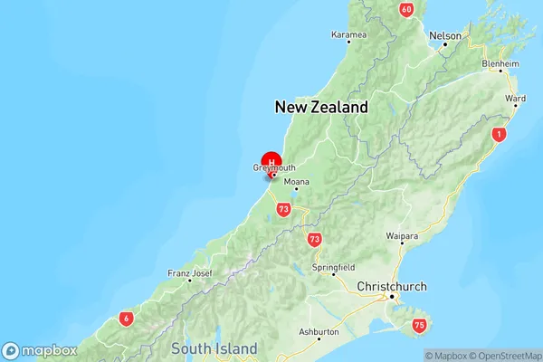
NZ Island
South IslandCountry
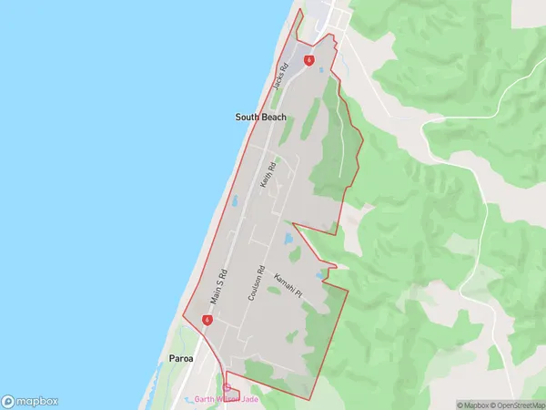
Paroa Area Map (Polygon)
Name
ParoaAdditional Name
South BeachLocal Authority
Grey District
Paroa Suburbs (Sort by Population)
Paroa also known as South Beach. Paroa suburb has around
3.7 square
kilometers.There are more than 827 people (estimated)
live in Paroa, Greymouth, West Coast, New Zealand.