Ikamatua Suburbs & Region, Ikamatua Map & Postcodes in Ikamatua, Grey, West Coast
Ikamatua Postcodes, Ikamatua ZipCodes, Ikamatua , Ikamatua West Coast, Ikamatua Suburbs, Ikamatua Region, Ikamatua Map, Ikamatua Area
Ikamatua Region (Blackwater, Hukarere, Hukawai Region)
Ikamatua Suburbs
Ikamatua is a suburb place type in Grey, West Coast, NZ. It contains 0 suburbs or localities.Ikamatua district
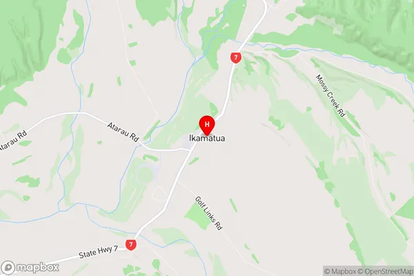
GreyIkamatua Region Map
Ikamatua Introduction
Ikamatua is a small coastal town on the West Coast of New Zealand's South Island. It is located 120 kilometers northwest of Greymouth and 320 kilometers southwest of Christchurch. The town is known for its stunning natural surroundings, including the Ikamatua Forest Park, which is home to a variety of native plants and animals. The town also has a popular beach, a golf course, and a variety of recreational facilities. Ikamatua is a popular destination for tourists and locals alike, with its peaceful atmosphere and stunning natural beauty.Ikamatua Region
Ikamatua City
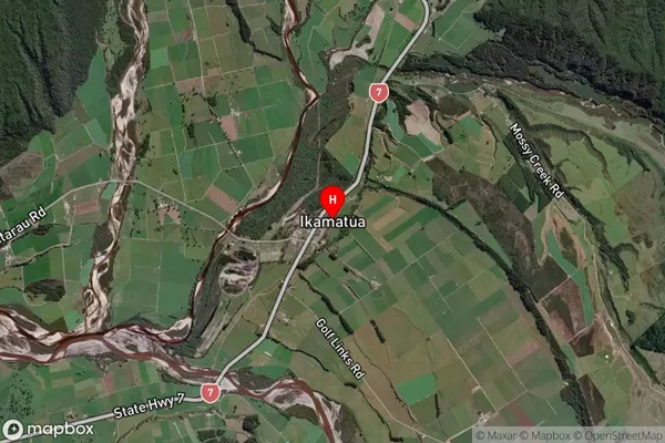
Ikamatua Satellite Map
Full Address
Ikamatua, Grey, West CoastIkamatua Coordinates
-42.269696,171.687877 (Latitude / Longitude)Ikamatua Map in NZ
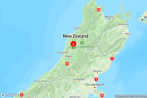
NZ Island
South IslandCountry
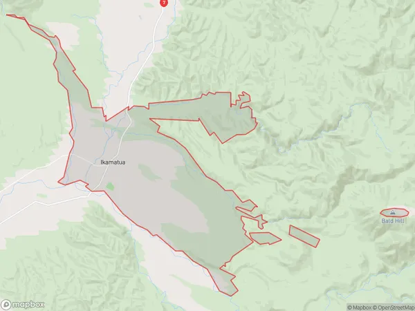
Ikamatua Area Map (Polygon)
Name
IkamatuaAdditional Name
Blackwater, Hukarere, HukawaiLocal Authority
Buller District
Ikamatua Suburbs (Sort by Population)
Ikamatua also known as Blackwater, Hukarere, Hukawai. Ikamatua suburb has around
105.6 square
kilometers.There are more than 201 people (estimated)
live in Ikamatua, Blackball, West Coast, New Zealand.