Dobson Suburbs & Region, Dobson Map & Postcodes in Dobson, Grey, West Coast
Dobson Postcodes, Dobson ZipCodes, Dobson , Dobson West Coast, Dobson Suburbs, Dobson Region, Dobson Map, Dobson Area
Dobson Region
Dobson Suburbs
Dobson is a suburb place type in Grey, West Coast, NZ. It contains 0 suburbs or localities.Dobson Postcodes
Dobson district
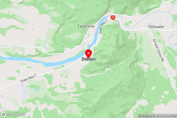
GreyDobson Region Map
Dobson Introduction
Dobson is a small town on the West Coast of New Zealand's South Island. It is located in the Grey District and is known for its scenic surroundings, including the nearby Grey Glacier. The town has a population of around 1,000 people and is a popular tourist destination. The area is known for its mining history, with gold and coal being mined in the region. Dobson is also home to the West Coast Museum, which showcases the region's history and culture.Dobson Region
Dobson City
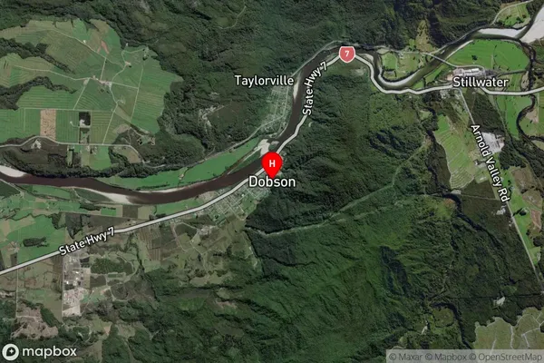
Dobson Satellite Map
Full Address
Dobson, Grey, West CoastDobson Coordinates
-42.451087,171.313312 (Latitude / Longitude)Dobson Map in NZ
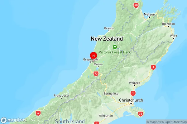
NZ Island
South IslandCountry
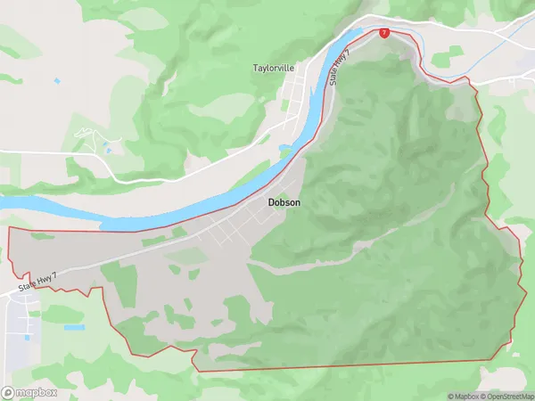
Dobson Area Map (Polygon)
Name
DobsonAdditional Name
Local Authority
Grey District
Dobson Suburbs (Sort by Population)
Dobson suburb has around
15.3 square
kilometers.There are more than 465 people (estimated)
live in Dobson, Greymouth, West Coast, New Zealand.