Tahunanui Suburbs & Region, Tahunanui Map & Postcodes in Tahunanui, Nelson, Nelson & Bays
Tahunanui Postcodes, Tahunanui ZipCodes, Tahunanui , Tahunanui Nelson, Tahunanui Suburbs, Tahunanui Region, Tahunanui Map, Tahunanui Area
Tahunanui Region
Tahunanui Suburbs
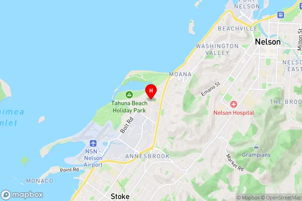
Tahunanui is a suburb place type in Nelson, Nelson & Bays, NZ. It contains 0 suburbs or localities.Tahunanui Region Map
Tahunanui Introduction
Tahunanui is a beach and suburb of Nelson, New Zealand. It is located on the northern side of the city, facing the Tasman Sea. Tahunanui Beach is a popular spot for swimming, sunbathing, and surfing, and it is known for its clear waters and stunning views of the surrounding coastline. The suburb also has a variety of shops, restaurants, and cafes, as well as a community center and a golf course. Tahunanui is a popular destination for tourists and locals alike, and it is known for its friendly community and relaxed atmosphere.Tahunanui Region
Tahunanui City
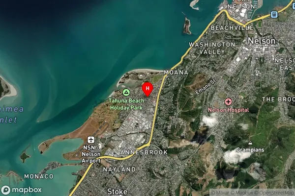
Tahunanui Satellite Map
Full Address
Tahunanui, Nelson, Nelson & BaysTahunanui Coordinates
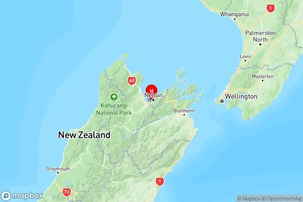
-41.286164,173.243885 (Latitude / Longitude)Tahunanui Map in NZ
NZ Island
South IslandCountry
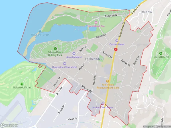
Tahunanui Area Map (Polygon)
Name
TahunanuiAdditional Name
Local Authority
Nelson City
Tahunanui Suburbs (Sort by Population)
Tahunanui suburb has around
3.1 square
kilometers.There are more than 4039 people (estimated)
live in Tahunanui, Nelson, Nelson, New Zealand.