Marybank Suburbs & Region, Marybank Map & Postcodes in Marybank, Nelson, Nelson & Bays

Marybank Postcodes, Marybank ZipCodes, Marybank , Marybank Nelson, Marybank Suburbs, Marybank Region, Marybank Map, Marybank Area

Marybank Region

  • Marybank Suburbs

    Marybank is a suburb place type in Nelson, Nelson & Bays, NZ. It contains 0 suburbs or localities.
  • Marybank Postcodes

    7010
  • Marybank Region Map

    Marybank, Nelson Region Map
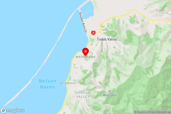
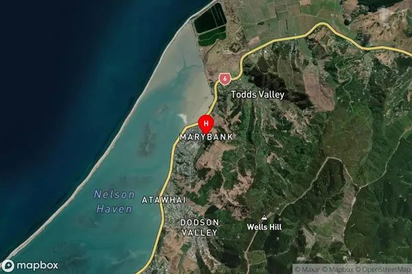
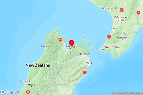
  • Marybank Introduction

    Marybank is a suburb of Nelson, New Zealand, located on the eastern side of the city. It is known for its picturesque gardens, scenic views, and vibrant community. The area was developed in the late 19th century and has since grown into a popular residential area with a mix of older homes and new developments. Marybank is home to a variety of shops, restaurants, and recreational facilities, including the Marybank Reserve, a popular park with walking trails and a playground. The suburb is also well-connected to the rest of Nelson, with easy access to the city center and the surrounding areas.
  • Marybank Region

  • Marybank City

  • Marybank Satellite Map

    Marybank, Nelson Satellite Map
  • Full Address

    Marybank, Nelson, Nelson & Bays
  • Marybank Coordinates

    -41.225204,173.327664 (Latitude / Longitude)
  • Marybank Map in NZ

    Marybank, Nelson Region Map
  • NZ Island

    South Island
  • Marybank Area Map (Polygon)

    Marybank, Manawatu-Wanganui Polygon Area Map
  • Name

    Marybank
  • Additional Name

  • Local Authority

    Whanganui District

Marybank Suburbs (Sort by Population)

Marybank suburb has around 2.8 square kilometers.There are more than 237 people (estimated) live in Marybank, Whanganui, Manawatu-Wanganui, New Zealand.

Marybank Suburbs (Sort in alphabetical)