Woodbourne Suburbs & Region, Woodbourne Map & Postcodes in Woodbourne, Marlborough, Marlborough
Woodbourne Postcodes, Woodbourne ZipCodes, Woodbourne , Woodbourne Marlborough, Woodbourne Suburbs, Woodbourne Region, Woodbourne Map, Woodbourne Area
Woodbourne Region
Woodbourne Suburbs
Woodbourne is a suburb place type in Marlborough, Marlborough, NZ. It contains 0 suburbs or localities.Woodbourne Postcodes
Woodbourne district
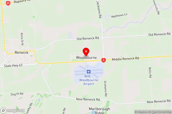
MarlboroughWoodbourne Region Map
Woodbourne Introduction
Woodbourne is a small town in Marlborough, New Zealand. It is located on State Highway 1, about 30 kilometers south of Blenheim. The town has a population of around 2,000 people and is known for its scenic surroundings, including the Woodbourne Forest and the Wairau River. The town has a primary school, a supermarket, a pharmacy, and several cafes and restaurants. Woodbourne is also home to a number of wineries and vineyards, including Cloudy Bay and Marlborough Sounds.Woodbourne Region
Woodbourne City
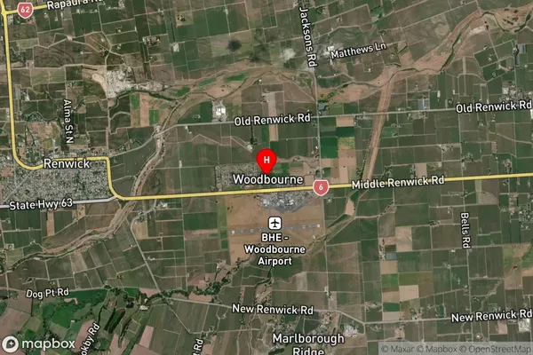
Woodbourne Satellite Map
Full Address
Woodbourne, Marlborough, MarlboroughWoodbourne Coordinates
-41.510345,173.867639 (Latitude / Longitude)Woodbourne Map in NZ
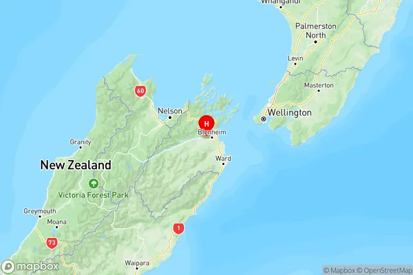
NZ Island
South IslandCountry
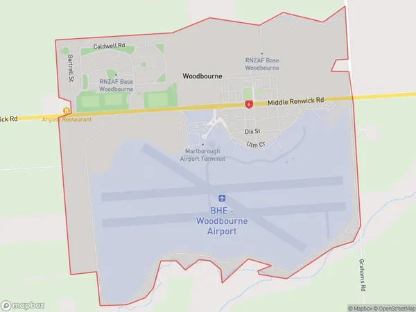
Woodbourne Area Map (Polygon)
Name
WoodbourneAdditional Name
Local Authority
Marlborough District
Woodbourne Suburbs (Sort by Population)
Woodbourne suburb has around
2.9 square
kilometers.There are more than 657 people (estimated)
live in Woodbourne, Blenheim, Marlborough, New Zealand.