Stephens Island (Takapourewa) Suburbs & Region, Stephens Island (Takapourewa) Map & Postcodes in Stephens Island (Takapourewa), Marlborough, Marlborough
Stephens Island (Takapourewa) Postcodes, Stephens Island (Takapourewa) ZipCodes, Stephens Island (Takapourewa) , Stephens Island (Takapourewa) Marlborough, Stephens Island (Takapourewa) Suburbs, Stephens Island (Takapourewa) Region, Stephens Island (Takapourewa) Map, Stephens Island (Takapourewa) Area
Stephens Island (Takapourewa) Region
Stephens Island (Takapourewa) Suburbs
Stephens Island (Takapourewa) is a suburb place type in Marlborough, Marlborough, NZ. It contains 0 suburbs or localities.Stephens Island (Takapourewa) district
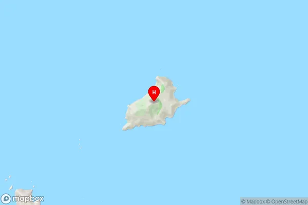
MarlboroughStephens Island (Takapourewa) Region Map
Stephens Island (Takapourewa) Introduction
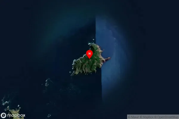
Stephens Island (Takapourewa) is a small, uninhabited island located in the Marlborough Sounds of New Zealand. It is part of the Takapourewa Group, which consists of several islands and is situated within the Marlborough Sounds Marine Reserve. The island is approximately 1.5 kilometers long and 0.5 kilometers wide and is surrounded by stunning turquoise waters and rugged cliffs. It is a popular destination for boaters and kayakers and is known for its stunning natural beauty and diverse marine life. The island has no permanent residents but is managed by the Department of Conservation as a nature reserve.Stephens Island (Takapourewa) Region
Stephens Island (Takapourewa) Satellite Map
Full Address
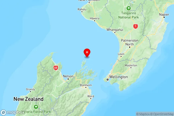
Stephens Island (Takapourewa), Marlborough, MarlboroughStephens Island (Takapourewa) Coordinates
-40.6702193,173.9969103 (Latitude / Longitude)Stephens Island (Takapourewa) Map in NZ
NZ Island
South IslandCountry