Rapaura Suburbs & Region, Rapaura Map & Postcodes in Rapaura, Marlborough, Marlborough
Rapaura Postcodes, Rapaura ZipCodes, Rapaura , Rapaura Marlborough, Rapaura Suburbs, Rapaura Region, Rapaura Map, Rapaura Area
Rapaura Region
Rapaura Suburbs
Rapaura is a suburb place type in Marlborough, Marlborough, NZ. It contains 0 suburbs or localities.Rapaura district
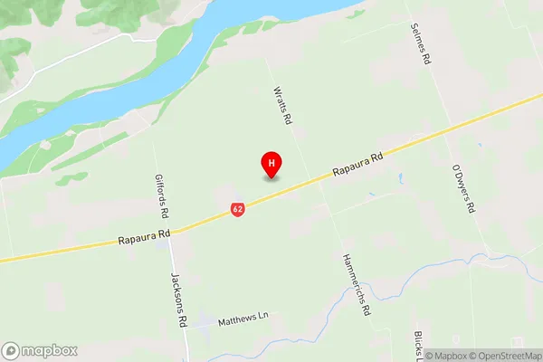
MarlboroughRapaura Region Map
Rapaura Introduction
Rapaura is a small township in the Marlborough region of New Zealand, located on State Highway 1. It is known for its scenic surroundings, including the Rapaura Springs and the Raupo River. The township has a population of around 100 people and is surrounded by farmland and vineyards. It is a popular destination for outdoor activities such as hiking, cycling, and fishing, and is also home to a number of historic buildings, including the Rapaura Church.Rapaura Region
Rapaura City
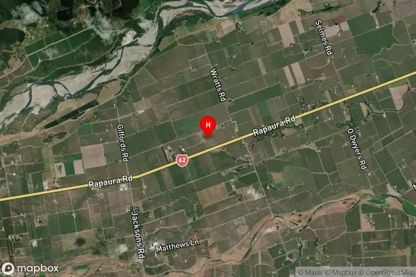
Rapaura Satellite Map
Full Address
Rapaura, Marlborough, MarlboroughRapaura Coordinates
-41.472033,173.892969 (Latitude / Longitude)Rapaura Map in NZ
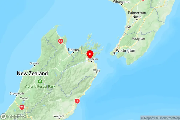
NZ Island
South IslandCountry