Hapuku Suburbs & Region, Hapuku Map & Postcodes in Hapuku, Kaikoura, Marlborough
Hapuku Postcodes, Hapuku ZipCodes, Hapuku , Hapuku Canterbury, Hapuku Suburbs, Hapuku Region, Hapuku Map, Hapuku Area
Hapuku Region
Hapuku Suburbs
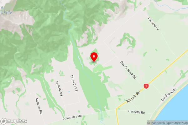
Hapuku is a suburb place type in Kaikoura, Marlborough, NZ. It contains 0 suburbs or localities.Hapuku Region Map
Hapuku Introduction
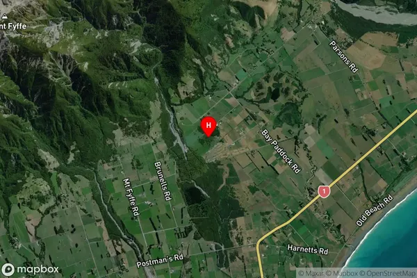
Hapuku is a small town in Canterbury, New Zealand, located on the banks of the Hapuku River. It is known for its beautiful beaches, lush green forests, and stunning coastal scenery. The town has a population of around 500 people and is a popular destination for tourists and outdoor enthusiasts. Hapuku is also home to a number of popular fishing spots, with the local fish species including blue cod, red cod, and kahawai. The town has a relaxed and laid-back atmosphere, with a number of cafes and restaurants serving fresh local produce. Hapuku is also a popular base for exploring the surrounding area, including the Kaikoura Coast, the Abel Tasman National Park, and the Hanmer Springs Thermal Pools.Hapuku Region
Hapuku City
Hapuku Satellite Map
Full Address
Hapuku, Kaikoura, MarlboroughHapuku Coordinates
-42.332811,173.66276 (Latitude / Longitude)Hapuku Map in NZ

NZ Island
South IslandCountry
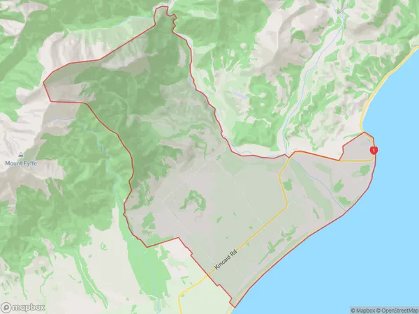
Hapuku Area Map (Polygon)
Name
HapukuAdditional Name
Local Authority
Kaikoura District
Hapuku Suburbs (Sort by Population)
Hapuku suburb has around
48.0 square
kilometers.There are more than 369 people (estimated)
live in Hapuku, Kaikoura, Canterbury, New Zealand.