Pauatahanui Suburbs & Region, Pauatahanui Map & Postcodes in Pauatahanui, Porirua City, Wellington
Pauatahanui Postcodes, Pauatahanui ZipCodes, Pauatahanui , Pauatahanui Wellington, Pauatahanui Suburbs, Pauatahanui Region, Pauatahanui Map, Pauatahanui Area
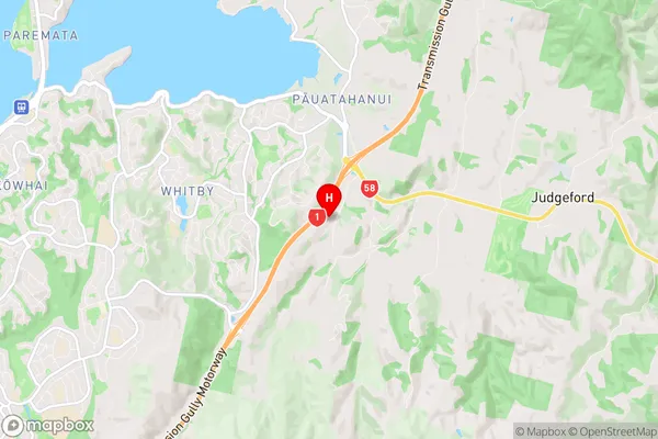
Pauatahanui Region (Pauatahanui Village Region)
Pauatahanui Suburbs
Pauatahanui is a suburb place type in Porirua City, Wellington, NZ. It contains 0 suburbs or localities.Pauatahanui Region Map
Pauatahanui Introduction
Pauatahanui is a suburb of Wellington, New Zealand, located on the southern shore of the Pauatahanui Inlet. It is known for its vibrant community, beautiful beaches, and proximity to the city center. The suburb has a population of around 6,000 people and is home to a variety of shops, restaurants, and recreational facilities. Pauatahanui Point is a popular spot for fishing and swimming, and the Pauatahanui Forest Park is a great place for hiking and nature walks. The suburb is also well-connected to the rest of Wellington via public transportation, making it an easy commute for residents and visitors alike.Pauatahanui Region
Pauatahanui City
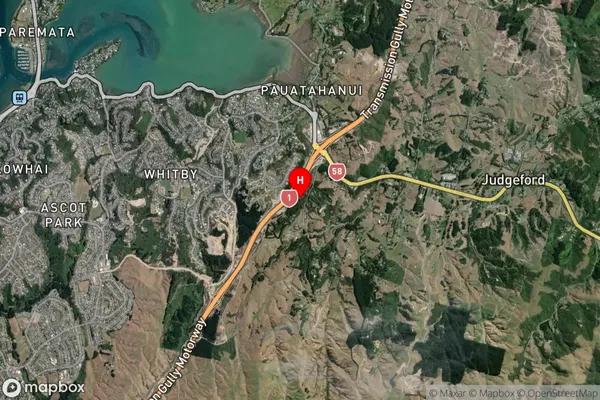
Pauatahanui Satellite Map
Full Address
Pauatahanui, Porirua City, WellingtonPauatahanui Coordinates
-41.119286,174.914754 (Latitude / Longitude)Pauatahanui Map in NZ
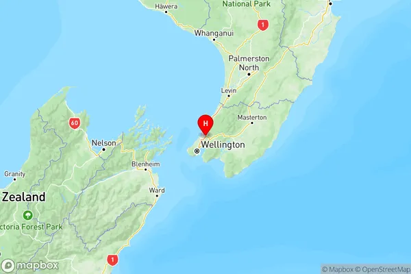
NZ Island
North IslandCountry
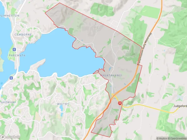
Pauatahanui Area Map (Polygon)
Name
PauatahanuiAdditional Name
Pauatahanui VillageLocal Authority
Porirua City
Pauatahanui Suburbs (Sort by Population)
Pauatahanui also known as Pauatahanui Village. Pauatahanui suburb has around
9.2 square
kilometers.There are more than 322 people (estimated)
live in Pauatahanui, Porirua, Wellington, New Zealand.