Cannons Creek Suburbs & Region, Cannons Creek Map & Postcodes in Cannons Creek, Porirua City, Wellington
Cannons Creek Postcodes, Cannons Creek ZipCodes, Cannons Creek , Cannons Creek Wellington, Cannons Creek Suburbs, Cannons Creek Region, Cannons Creek Map, Cannons Creek Area
Cannons Creek Region
Cannons Creek Suburbs
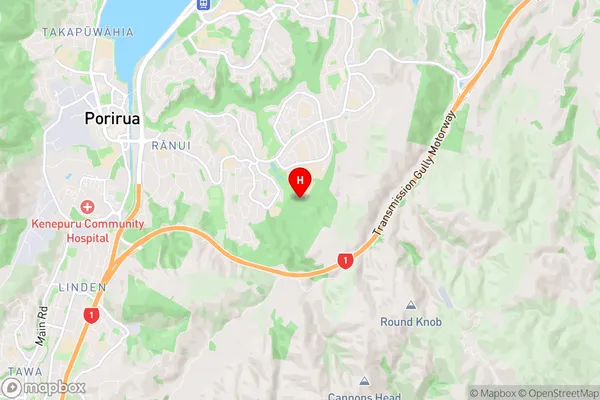
Cannons Creek is a suburb place type in Porirua City, Wellington, NZ. It contains 0 suburbs or localities.Cannons Creek Region Map
Cannons Creek Introduction
Cannons Creek is a small stream located in the Wellington region of New Zealand. It is a tributary of the Poronui River and flows through the suburbs of Miramar, Island Bay, and Te Aro. The creek has a rich history and was once used as a source of water for the local community. It is also home to a variety of wildlife, including native birds and insects. The area around Cannons Creek is popular with walkers and cyclists, and there are several parks and reserves along its banks. The creek has been the subject of several environmental projects in recent years, aimed at improving its water quality and protecting its native flora and fauna.Cannons Creek Region
Cannons Creek City
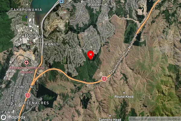
Cannons Creek Satellite Map
Full Address
Cannons Creek, Porirua City, WellingtonCannons Creek Coordinates
-41.145964,174.872028 (Latitude / Longitude)Cannons Creek Map in NZ
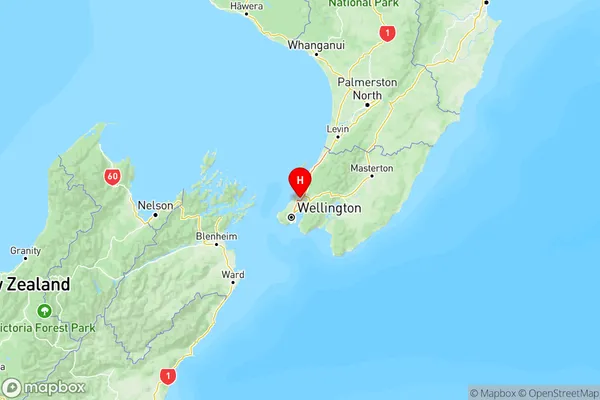
NZ Island
North IslandCountry
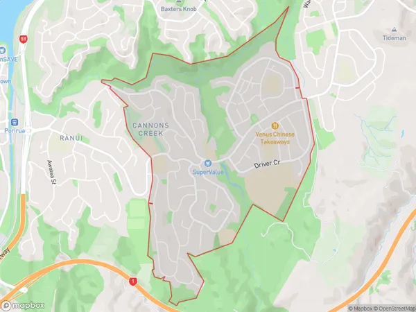
Cannons Creek Area Map (Polygon)
Name
Cannons CreekAdditional Name
Local Authority
Porirua City
Cannons Creek Suburbs (Sort by Population)
Cannons Creek suburb has around
3.5 square
kilometers.There are more than 9474 people (estimated)
live in Cannons Creek, Porirua, Wellington, New Zealand.