Upper Plain Suburbs & Region, Upper Plain Map & Postcodes in Upper Plain, Masterton, Wairarapa
Upper Plain Postcodes, Upper Plain ZipCodes, Upper Plain , Upper Plain Wellington, Upper Plain Suburbs, Upper Plain Region, Upper Plain Map, Upper Plain Area
Upper Plain Region
Upper Plain Suburbs
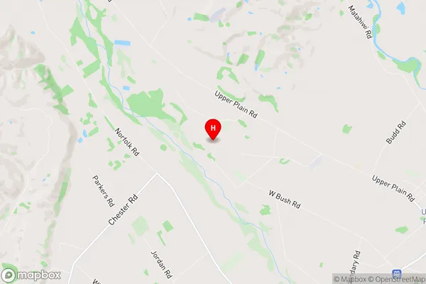
Upper Plain is a suburb place type in Masterton, Wairarapa, NZ. It contains 0 suburbs or localities.Upper Plain Region Map

Upper Plain Introduction
Upper Plain is a suburb of Wellington, New Zealand, located in the eastern part of the city. It is known for its peaceful atmosphere, scenic views, and well-maintained homes. The suburb is surrounded by lush green parks and reserves, including the Wellington Botanic Garden and the Trentham Memorial Park. Upper Plain is a popular residential area with a mix of young families, professionals, and retirees. It is convenient for those working in the city center, with easy access to public transportation and a variety of shopping and dining options. The suburb also has a community center and a library, providing residents with recreational facilities and resources.Upper Plain Region
Upper Plain City
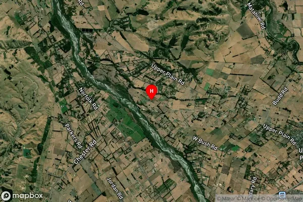
Upper Plain Satellite Map

Full Address
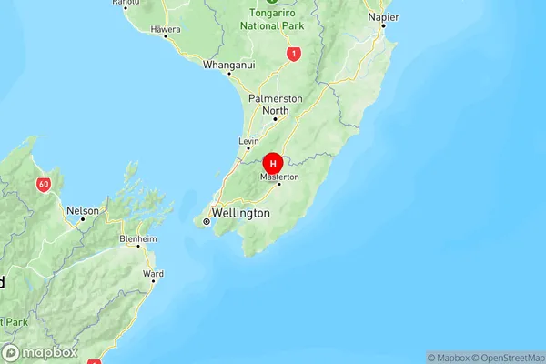
Upper Plain, Masterton, WairarapaUpper Plain Coordinates
-40.92921,175.581056 (Latitude / Longitude)Upper Plain Map in NZ

NZ Island
North IslandCountry
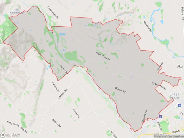
Upper Plain Area Map (Polygon)

Name
Upper PlainAdditional Name
Local Authority
Carterton District, Masterton District
Upper Plain Suburbs (Sort by Population)
Upper Plain suburb has around
35.1 square
kilometers.There are more than 960 people (estimated)
live in Upper Plain, Masterton, Wellington, New Zealand.