Te Whiti Suburbs & Region, Te Whiti Map & Postcodes in Te Whiti, Masterton, Wairarapa
Te Whiti Postcodes, Te Whiti ZipCodes, Te Whiti , Te Whiti Wellington, Te Whiti Suburbs, Te Whiti Region, Te Whiti Map, Te Whiti Area
Te Whiti Region (Te Whanga Region)
Te Whiti Suburbs
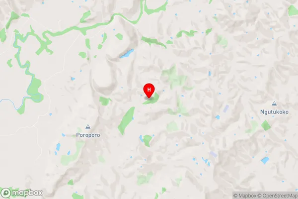
Te Whiti is a suburb place type in Masterton, Wairarapa, NZ. It contains 0 suburbs or localities.Te Whiti Region Map

Te Whiti Introduction
Te Whiti o Rongomai, also known as Te Whiti-o-Rongomai, was a prominent Māori leader who played a significant role in the New Zealand Wars. He was born in the Bay of Islands in 1787 and became a chief of the Ngāti Porou iwi. Te Whiti led his people in a series of battles against the British colonists, culminating in the Battle of Oihi Bay in 1864, where his forces were defeated. Despite this, Te Whiti continued to fight for his people's rights and land until his death in 1869. He is revered as a hero and a symbol of Māori resistance to colonialism in New Zealand.Te Whiti Region
Te Whiti City
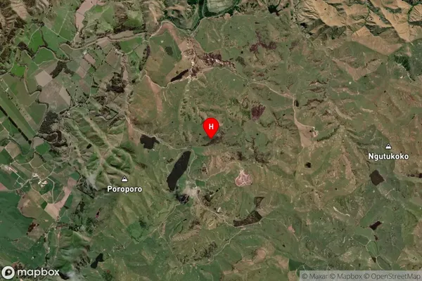
Te Whiti Satellite Map

Full Address
Te Whiti, Masterton, WairarapaTe Whiti Coordinates
-41.039953,175.733638 (Latitude / Longitude)Te Whiti Map in NZ

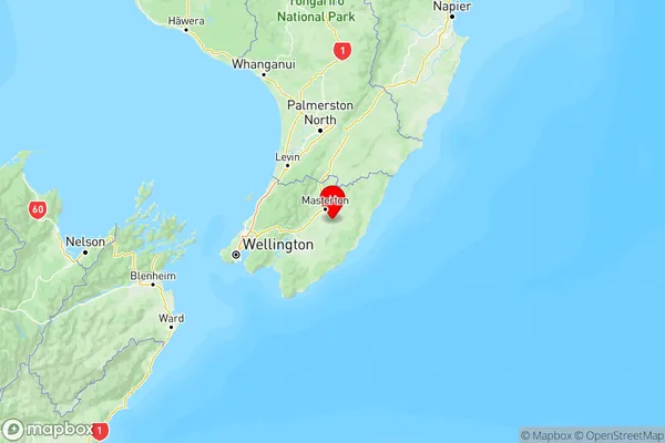
NZ Island
North IslandCountry
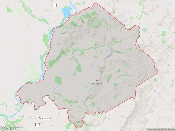
Te Whiti Area Map (Polygon)

Name
Te WhitiAdditional Name
Te WhangaLocal Authority
Carterton District, Masterton District
Te Whiti Suburbs (Sort by Population)
Te Whiti also known as Te Whanga. Te Whiti suburb has around
86.6 square
kilometers.There are more than 281 people (estimated)
live in Te Whiti, Invercargill, Southland, New Zealand.