Mataikona Suburbs & Region, Mataikona Map & Postcodes in Mataikona, Masterton, Wairarapa
Mataikona Postcodes, Mataikona ZipCodes, Mataikona , Mataikona Wellington, Mataikona Suburbs, Mataikona Region, Mataikona Map, Mataikona Area
Mataikona Region
Mataikona Suburbs
Mataikona is a suburb place type in Masterton, Wairarapa, NZ. It contains 0 suburbs or localities.Mataikona Region Map
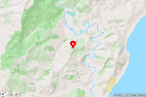
Mataikona Introduction
Mataikona is a small coastal village located in the southern part of Wellington, New Zealand. It is known for its stunning natural beauty, including rugged coastline, crystal-clear waters, and lush green forests. The village has a population of around 500 people and is a popular destination for tourists and locals alike. Mataikona is also home to a unique species of sea turtle called the green turtle, which is critically endangered. The village is surrounded by a network of walking tracks and has a community-run museum that showcases the local history and culture of the area.Mataikona Region
Mataikona City
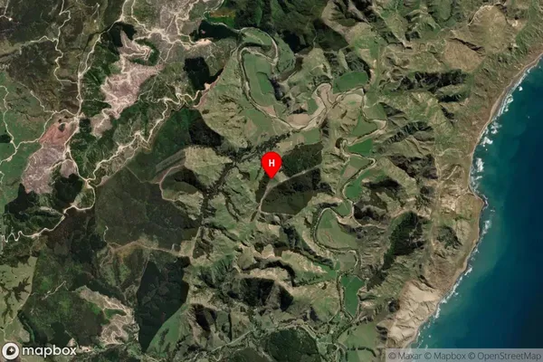
Mataikona Satellite Map
Full Address
Mataikona, Masterton, WairarapaMataikona Coordinates
-40.752502,176.250121 (Latitude / Longitude)Mataikona Map in NZ
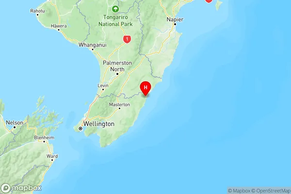
NZ Island
North IslandCountry
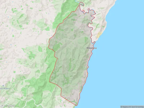
Mataikona Area Map (Polygon)
Name
MataikonaAdditional Name
Local Authority
Masterton District
Mataikona Suburbs (Sort by Population)
Mataikona suburb has around
69.7 square
kilometers.There are more than 142 people (estimated)
live in Mataikona, Masterton, Wellington, New Zealand.