Otamatea Suburbs & Region, Otamatea Map & Postcodes in Otamatea, Whanganui, Manawatu / Whanganui
Otamatea Postcodes, Otamatea ZipCodes, Otamatea , Otamatea Manawatu-Wanganui, Otamatea Suburbs, Otamatea Region, Otamatea Map, Otamatea Area
Otamatea Region
Otamatea Suburbs
Otamatea is a suburb place type in Whanganui, Manawatu / Whanganui, NZ. It contains 0 suburbs or localities.Otamatea district
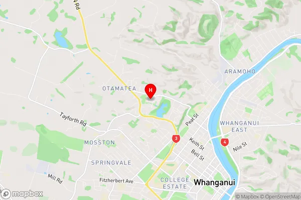
WhanganuiOtamatea Region Map
Otamatea Introduction
Otamatea is a small town in the Manawatu-Wanganui region of New Zealand. It is located on State Highway 3, approximately 30 kilometers north of Palmerston North. The town has a population of around 1,000 people and is known for its historic stone buildings and scenic surroundings. The Otamatea River flows through the town, and there are several parks and recreational areas nearby. The town also has a golf course and a community hall. Otamatea is a popular destination for tourists and is home to several historic sites, including the Otamatea Pa, a fortified hilltop settlement.Otamatea Region
Otamatea City
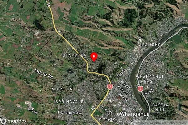
Otamatea Satellite Map
Full Address
Otamatea, Whanganui, Manawatu / WhanganuiOtamatea Coordinates
-39.910809,175.030051 (Latitude / Longitude)Otamatea Map in NZ
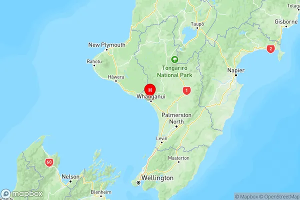
NZ Island
North IslandCountry
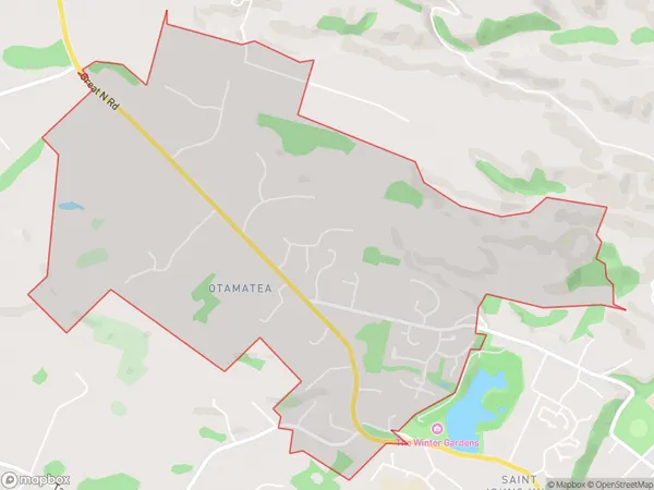
Otamatea Area Map (Polygon)
Name
OtamateaAdditional Name
Local Authority
Whanganui District
Otamatea Suburbs (Sort by Population)
Otamatea suburb has around
4.5 square
kilometers.There are more than 1774 people (estimated)
live in Otamatea, Whanganui, Manawatu-Wanganui, New Zealand.