Okoia Suburbs & Region, Okoia Map & Postcodes in Okoia, Whanganui, Manawatu / Whanganui
Okoia Postcodes, Okoia ZipCodes, Okoia , Okoia Manawatu-Wanganui, Okoia Suburbs, Okoia Region, Okoia Map, Okoia Area
Okoia Region (Kowhai Park Region)
Okoia Suburbs
Okoia is a suburb place type in Whanganui, Manawatu / Whanganui, NZ. It contains 0 suburbs or localities.Okoia district
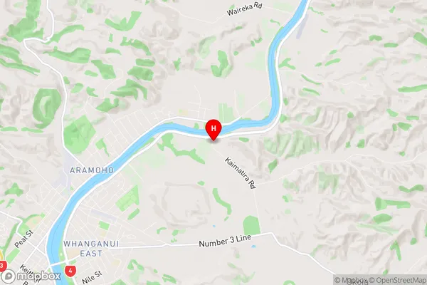
WhanganuiOkoia Region Map
Okoia Introduction
Okoia is a small rural community located in the Manawatu-Wanganui region of New Zealand. It is situated on the banks of the Okoia River, approximately 30 kilometers south of Palmerston North. The area is known for its scenic countryside, with rolling hills, lush green fields, and picturesque waterways. The community has a population of around 100 people and is home to a primary school, a church, and a small convenience store. Okoia is a popular destination for outdoor enthusiasts, with numerous hiking and cycling trails in the surrounding area. The community also hosts a annual music festival, which attracts visitors from around the region.Okoia Region
Okoia City
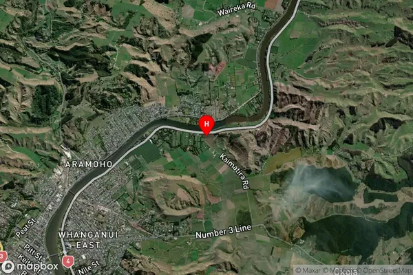
Okoia Satellite Map
Full Address
Okoia, Whanganui, Manawatu / WhanganuiOkoia Coordinates
-39.89817,175.090004 (Latitude / Longitude)Okoia Map in NZ
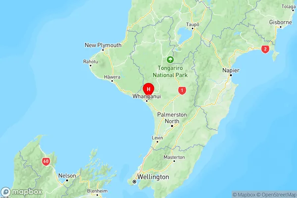
NZ Island
North IslandCountry
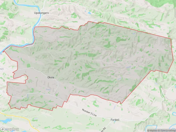
Okoia Area Map (Polygon)
Name
OkoiaAdditional Name
Kowhai ParkLocal Authority
Whanganui District
Okoia Suburbs (Sort by Population)
Okoia also known as Kowhai Park. Okoia suburb has around
120.4 square
kilometers.There are more than 670 people (estimated)
live in Okoia, Whanganui, Manawatu-Wanganui, New Zealand.