Matahiwi Suburbs & Region, Matahiwi Map & Postcodes in Matahiwi, Whanganui, Manawatu / Whanganui
Matahiwi Postcodes, Matahiwi ZipCodes, Matahiwi , Matahiwi Manawatu-Wanganui, Matahiwi Suburbs, Matahiwi Region, Matahiwi Map, Matahiwi Area
Matahiwi Region
Matahiwi Suburbs
Matahiwi is a suburb place type in Whanganui, Manawatu / Whanganui, NZ. It contains 0 suburbs or localities.Matahiwi Postcodes
Matahiwi district
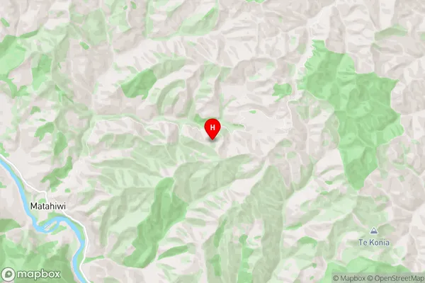
WhanganuiMatahiwi Region Map
Matahiwi Introduction
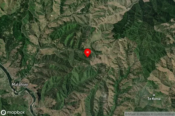
Matahiwi is a small rural community located in the Manawatu-Wanganui region of New Zealand. It is situated on the banks of the Wanganui River, approximately 100 kilometers north of Palmerston North. The community has a population of around 100 people and is known for its scenic surroundings, including rolling hills, farmland, and native forests. Matahiwi is a popular destination for outdoor enthusiasts, with numerous hiking and cycling trails nearby. The community also has a small primary school and a community hall, which hosts regular events and gatherings.Matahiwi Region
Matahiwi City
Matahiwi Satellite Map
Full Address
Matahiwi, Whanganui, Manawatu / WhanganuiMatahiwi Coordinates
-39.593615,175.200711 (Latitude / Longitude)Matahiwi Map in NZ
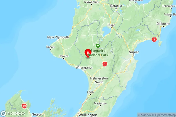
NZ Island
North IslandCountry