Norsewood Suburbs & Region, Norsewood Map & Postcodes in Norsewood, Tararua, Manawatu / Whanganui
Norsewood Postcodes, Norsewood ZipCodes, Norsewood , Norsewood Manawatu-Wanganui, Norsewood Suburbs, Norsewood Region, Norsewood Map, Norsewood Area
Norsewood Region (Ngamoko Region)
Norsewood Suburbs
Norsewood is a city place type in Tararua, Manawatu / Whanganui, NZ. It contains 1 suburbs or localities.Norsewood district
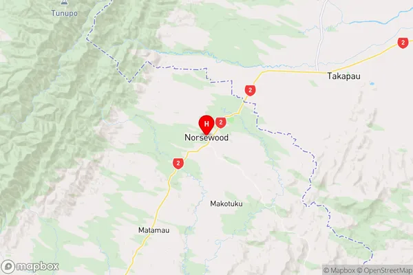
TararuaNorsewood Region Map
Norsewood Introduction
Norsewood is a small town in the Manawatu-Wanganui region of New Zealand. It is located on State Highway 3, approximately 30 kilometers north of Palmerston North. The town has a population of around 1,200 people and is known for its historic buildings, including the Norsewood Hotel, which was built in 1878. The town also has a golf course, a swimming pool, and a sports complex. Norsewood is surrounded by farmland and has a peaceful rural atmosphere. It is a popular destination for tourists and is close to several attractions, including the Taranaki Volcanoes, the Manawatu Gorge, and the Horowhenua Forest.Norsewood Region
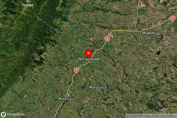
Norsewood Satellite Map
Full Address
Norsewood, Tararua, Manawatu / WhanganuiNorsewood Coordinates
-40.070814,176.213456 (Latitude / Longitude)Norsewood Map in NZ
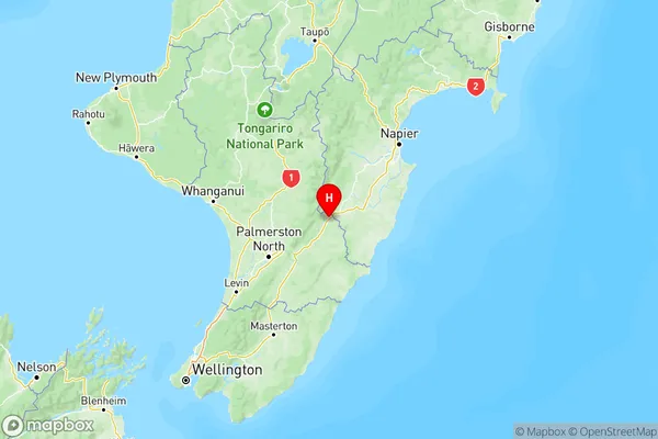
NZ Island
North IslandCountry
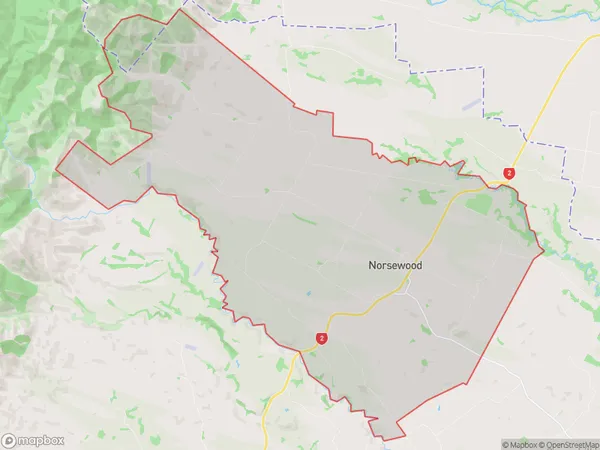
Norsewood Area Map (Polygon)
Name
NorsewoodAdditional Name
NgamokoLocal Authority
Tararua District
Norsewood Suburbs (Sort by Population)
Norsewood
Norsewood - 448