Awapuni Suburbs & Region, Awapuni Map & Postcodes in Awapuni, Palmerston North City, Manawatu / Whanganui
Awapuni Postcodes, Awapuni ZipCodes, Awapuni , Awapuni Manawatu-Wanganui, Awapuni Suburbs, Awapuni Region, Awapuni Map, Awapuni Area
Awapuni Region (Linton Military Camp Region)
Awapuni Suburbs
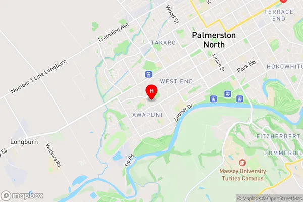
Awapuni is a suburb place type in Palmerston North City, Manawatu / Whanganui, NZ. It contains 0 suburbs or localities.Awapuni Region Map

Awapuni Introduction
Awapuni is a small town located in the Manawatu-Wanganui region of New Zealand. It is situated on the banks of the Awapuni River and is known for its rich agricultural heritage and stunning natural surroundings. The town has a population of around 5,000 people and is home to a variety of businesses and industries, including farming, forestry, and tourism. The Awapuni Racecourse is a major attraction in the area, hosting regular horse racing events and festivals. The town also has a number of historic buildings and landmarks, including the Awapuni Steamrail Museum and the Awapuni Caves.Awapuni Region
Awapuni City
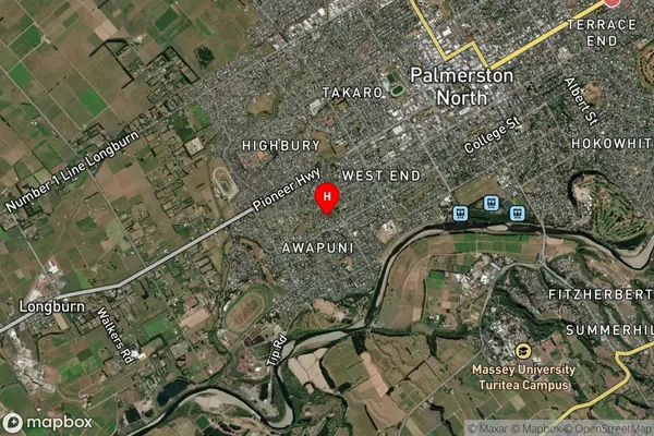
Awapuni Satellite Map

Full Address
Awapuni, Palmerston North City, Manawatu / WhanganuiAwapuni Coordinates
-40.372106,175.590044 (Latitude / Longitude)Awapuni Map in NZ

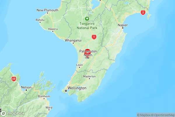
NZ Island
North IslandCountry
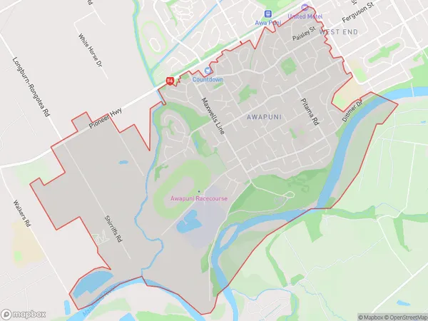
Awapuni Area Map (Polygon)

Name
AwapuniAdditional Name
Linton Military CampLocal Authority
Palmerston North City
Awapuni Suburbs (Sort by Population)
Awapuni also known as Linton Military Camp. Awapuni suburb has around
8.7 square
kilometers.There are more than 8501 people (estimated)
live in Awapuni, Palmerston North, Manawatu-Wanganui, New Zealand.