Mount Roskill Area, Mount Roskill Postcode(1041) & Map in Mount Roskill
Mount Roskill Area, Mount Roskill Postcode(1041) & Map in Mount Roskill, Auckland, New Zealand
Mount Roskill, Auckland, New Zealand
Mount Roskill Postcodes
Mount Roskill Area (estimated)
11.1 square kilometersMount Roskill Population (estimated)
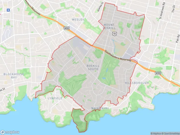
31616 people live in Mount Roskill, Puketāpapa, NZMount Roskill Suburb Area Map (Polygon)
Mount Roskill Introduction
Mount Roskill is a suburb in Auckland, New Zealand, located in the Eastern Suburbs. It is known for its high population density and diverse culture. The area has a variety of shops, restaurants, and recreational facilities, including the Mount Roskill Grammar School and the Roskill Community Centre. Mount Roskill is also home to several major transport routes, including the Southern and Eastern Arterials, making it an easy commute to other parts of the city.Region
Major City
Suburb Name
Mount RoskillOther Name(s)
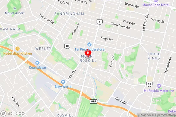
Mt Albert, Mt Roskill, WaikowhaiMount Roskill Area Map (Street)
Local Authority
AucklandFull Address
Mount Roskill, Auckland, New ZealandAddress Type
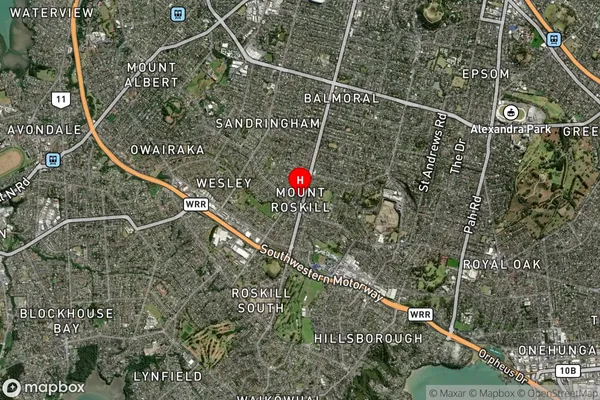
Suburb in City AucklandMount Roskill Suburb Map (Satellite)
Country
Main Region in AU
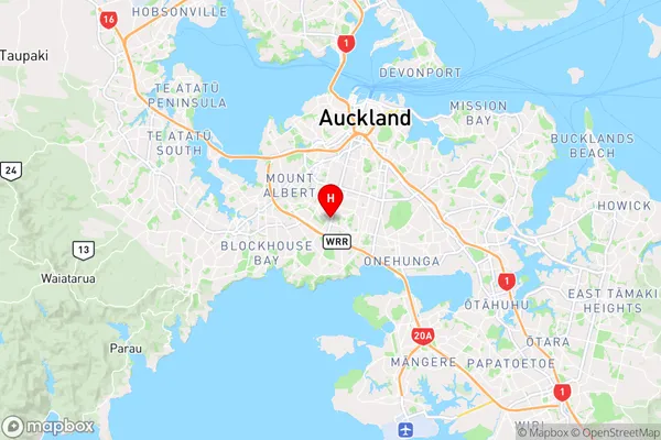
AucklandMount Roskill Region Map
Coordinates
-36.9031433,174.7416186 (latitude/longitude)Distances
The distance from Mount Roskill, Auckland, Auckland to NZ Top 10 Cities