Mount Albert Area, Mount Albert Postcode(1025) & Map in Mount Albert
Mount Albert Area, Mount Albert Postcode(1025) & Map in Mount Albert, Auckland, New Zealand
Mount Albert, Auckland, New Zealand
Mount Albert Area (estimated)
7.8 square kilometersMount Albert Population (estimated)
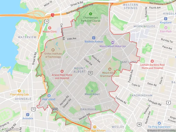
20745 people live in Mount Albert, Albert-Eden, NZMount Albert Suburb Area Map (Polygon)
Mount Albert Introduction
Mount Albert is a suburb of Auckland, New Zealand, with a rich history and diverse culture. It is known for its beautiful parks, historic homes, and vibrant community. The area is home to a large Muslim population and has several mosques and halal restaurants. Mount Albert is also home to a variety of shops and businesses, including a popular farmers' market.Region
Major City
Suburb Name
Mount AlbertOther Name(s)
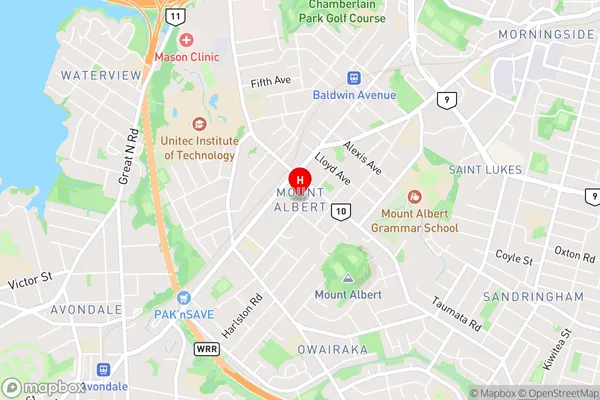
Mt Albert, Mt Roskill, Owairaka, Saint LukesMount Albert Area Map (Street)
Local Authority
AucklandFull Address
Mount Albert, Auckland, New ZealandAddress Type
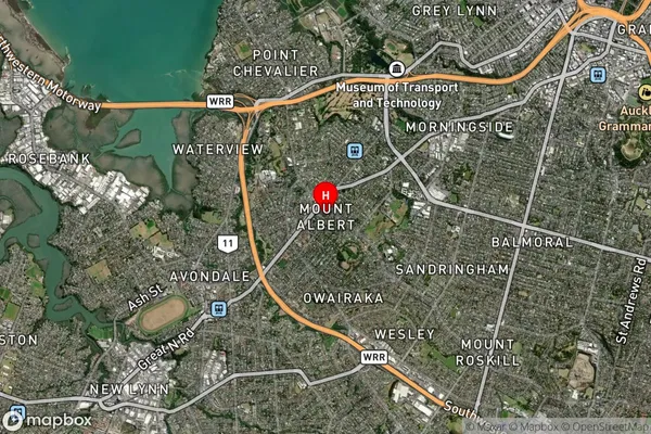
Suburb in City AucklandMount Albert Suburb Map (Satellite)
Country
Main Region in AU
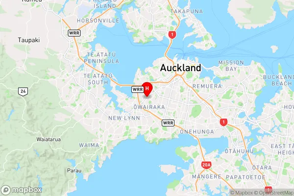
AucklandMount Albert Region Map
Coordinates
-36.8859912,174.7160423 (latitude/longitude)Distances
The distance from Mount Albert, Auckland, Auckland to NZ Top 10 Cities