Mount Holdsworth Area, Mount Holdsworth Postcode(5713) & Map in Mount Holdsworth
Mount Holdsworth Area, Mount Holdsworth Postcode(5713) & Map in Mount Holdsworth, Carterton District, New Zealand
Mount Holdsworth, Carterton District, New Zealand
Mount Holdsworth Postcodes
Mount Holdsworth Area (estimated)
16.5 square kilometersMount Holdsworth Population (estimated)
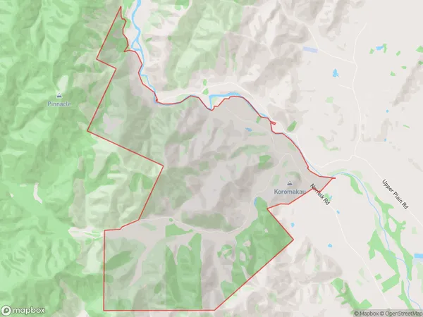
87 people live in Mount Holdsworth, Wellington, NZMount Holdsworth Suburb Area Map (Polygon)
Mount Holdsworth Introduction
Mount Holdsworth is a mountain located in the Wellington region of New Zealand. It is part of the Southern Alps and rises to an elevation of 1,810 meters above sea level. The mountain is popular with hikers and climbers and offers stunning views of the surrounding area. It is also home to a variety of wildlife, including kea, tui, and mountain parrots.Region
Major City
Suburb Name
Mount HoldsworthOther Name(s)
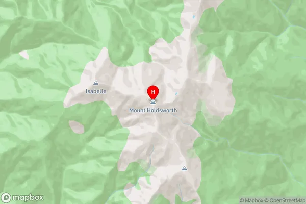
Mt HoldsworthMount Holdsworth Area Map (Street)
Local Authority
Carterton DistrictFull Address
Mount Holdsworth, Carterton District, New ZealandAddress Type
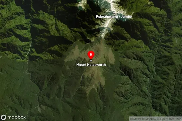
Locality in Town CartertonMount Holdsworth Suburb Map (Satellite)
Country
Main Region in AU
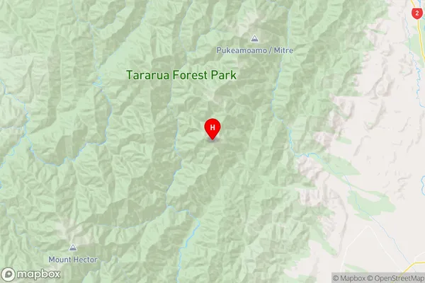
WellingtonMount Holdsworth Region Map
Coordinates
-40.8735119,175.4168248 (latitude/longitude)Distances
The distance from Mount Holdsworth, Carterton, Carterton District to NZ Top 10 Cities