Bankside Area, Bankside Postcode & Map in Bankside, Ashburton District
Bankside Area, Bankside Postcode & Map in Bankside, Ashburton District, Selwyn District, New Zealand
Bankside, Ashburton District, Selwyn District, New Zealand
Bankside Area (estimated)
244.5 square kilometersBankside Population (estimated)
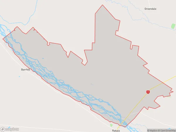
560 people live in Bankside, Canterbury, NZBankside Suburb Area Map (Polygon)

Bankside Introduction
Bankside is a suburb of Christchurch, New Zealand, located on the banks of the Avon River. It is known for its historic buildings, including the Christchurch Central Library and the Arts Centre. The suburb has a vibrant arts and culture scene, with numerous galleries, museums, and theaters. It is also home to a popular farmers' market and several popular restaurants and cafes.Region
0Suburb Name
BanksideOther Name(s)
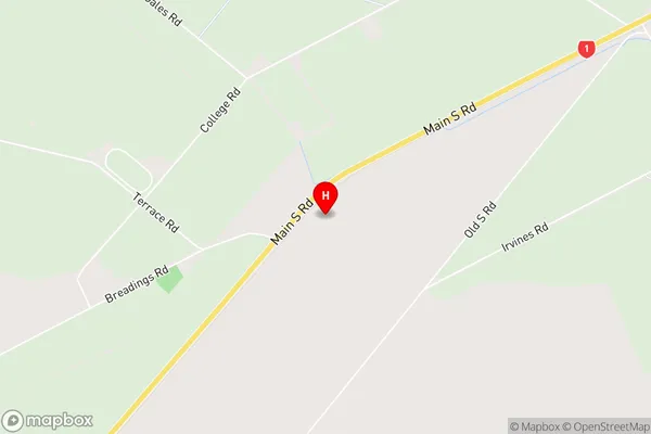
MeadBankside Area Map (Street)

Local Authority
Ashburton District, Selwyn DistrictFull Address
Bankside, Ashburton District, Selwyn District, New ZealandAddress Type
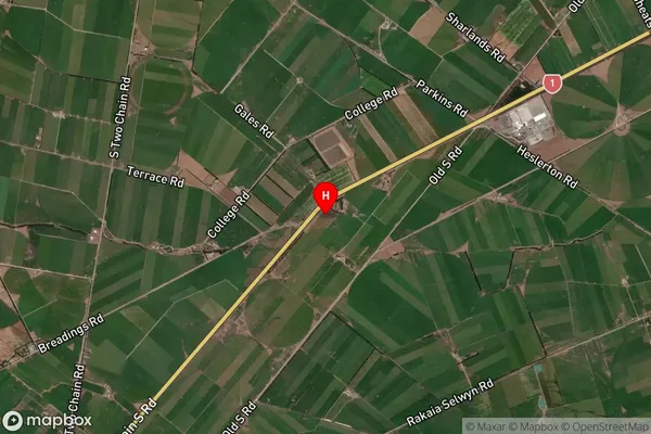
Locality in Major Locality BanksideBankside Suburb Map (Satellite)

Country
Main Region in AU
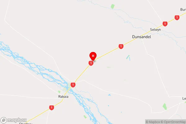
CanterburyBankside Region Map

Coordinates
-43.7013985,172.0894436 (latitude/longitude)Distances
The distance from Bankside, Bankside, Ashburton District, Selwyn District to NZ Top 10 Cities