Motupiko Area, Motupiko Postcode(7096) & Map in Motupiko
Motupiko Area, Motupiko Postcode(7096) & Map in Motupiko, Tasman District, New Zealand
Motupiko, Tasman District, New Zealand
Motupiko Postcodes
Motupiko Area (estimated)
69.3 square kilometersMotupiko Population (estimated)
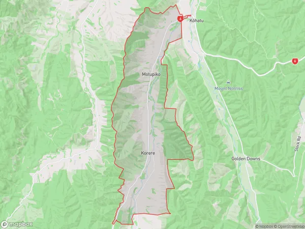
152 people live in Motupiko, Tasman, NZMotupiko Suburb Area Map (Polygon)
Motupiko Introduction
Motupiko is a small settlement in St. Arnaud, Tasman, New Zealand. It is located on the banks of the Motupiko River, and is known for its stunning natural scenery and peaceful atmosphere. The area is popular with tourists and outdoor enthusiasts, who enjoy activities such as hiking, fishing, and kayaking. The settlement also has a small community hall and a convenience store.00Suburb Name
MotupikoOther Name(s)
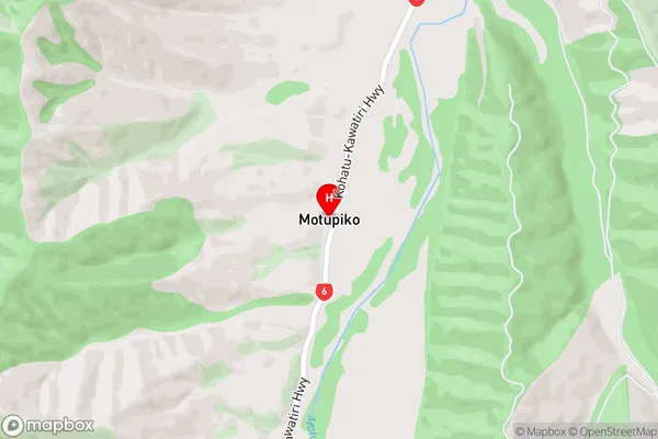
KorereMotupiko Area Map (Street)
Local Authority
Tasman DistrictFull Address
Motupiko, Tasman District, New ZealandAddress Type
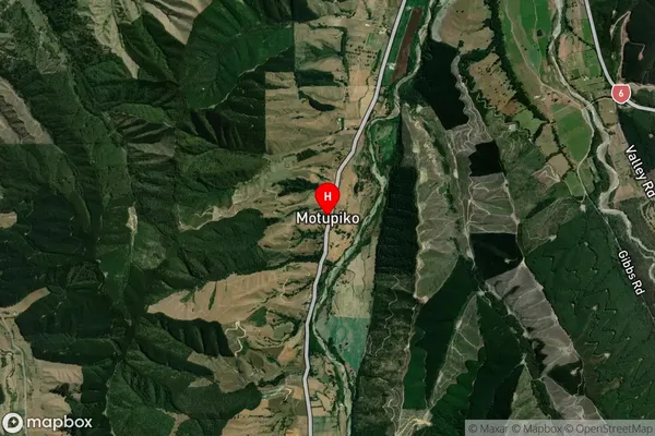
Locality in Major Locality St. ArnaudMotupiko Suburb Map (Satellite)
Country
Main Region in AU
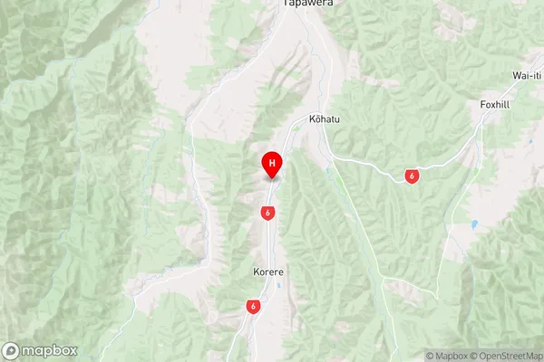
TasmanMotupiko Region Map
Coordinates
-41.4875925,172.7981833 (latitude/longitude)Distances
The distance from Motupiko, St. Arnaud, Tasman District to NZ Top 10 Cities