Balmoral Area, Balmoral Postcode(1024) & Map in Balmoral
Balmoral Area, Balmoral Postcode(1024) & Map in Balmoral, Hurunui District, New Zealand
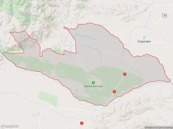
Balmoral, Hurunui District, New Zealand
Balmoral Area (estimated)
231.4 square kilometersBalmoral Population (estimated)
325 people live in Balmoral, Albert-Eden, NZBalmoral Suburb Area Map (Polygon)
Balmoral Introduction
Balmoral is a suburb in Auckland, New Zealand, located in the Eastern Suburbs. It is known for its leafy streets, historic homes, and proximity to the city center. The area was developed in the late 19th century and is named after Balmoral Castle in Scotland. Balmoral has a rich cultural heritage and is home to a variety of ethnic communities. It is also known for its popular shopping district, with many boutiques and restaurants.Region
Major City
Suburb Name
BalmoralOther Name(s)
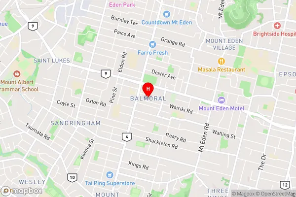
PahauBalmoral Area Map (Street)
Local Authority
Hurunui DistrictFull Address
Balmoral, Hurunui District, New ZealandAddress Type
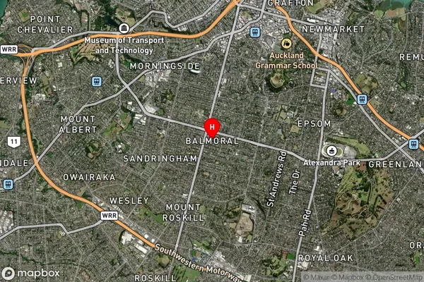
Locality in Major Locality BalmoralBalmoral Suburb Map (Satellite)
Country
Main Region in AU
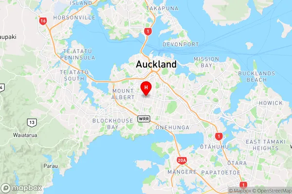
AucklandBalmoral Region Map
Coordinates
-36.8892046,174.7486941 (latitude/longitude)Distances
The distance from Balmoral, Balmoral, Hurunui District to NZ Top 10 Cities