Motatau Area, Motatau Postcode(0281) & Map in Motatau
Motatau Area, Motatau Postcode(0281) & Map in Motatau, Far North District, New Zealand
Motatau, Far North District, New Zealand
Motatau Postcodes
Motatau Area (estimated)
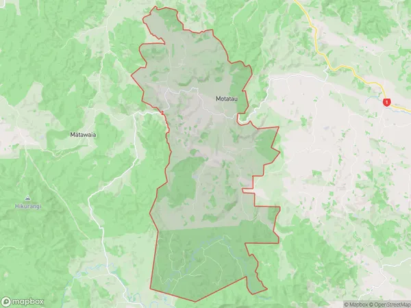
98.0 square kilometersMotatau Population (estimated)
159 people live in Motatau, Bay of Islands-Whangaroa Community, NZMotatau Suburb Area Map (Polygon)
Motatau Introduction
Motatau is a small settlement in Kawakawa, Northland, New Zealand. It is known for its scenic views, including the Motatau Island and the surrounding coastline. The settlement has a population of around 100 people and is located on State Highway 12. It is a popular stop for tourists and is surrounded by native bush and farmland.Region
Major City
Suburb Name
MotatauOther Name(s)
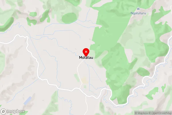
Opahi, PokereMotatau Area Map (Street)
Local Authority
Far North DistrictFull Address
Motatau, Far North District, New ZealandAddress Type
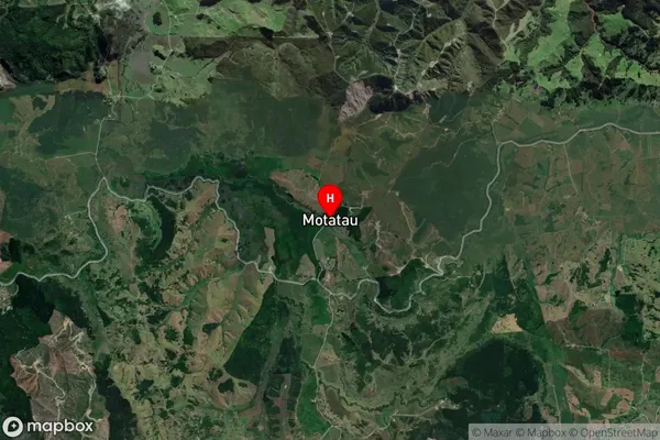
Locality in Town KawakawaMotatau Suburb Map (Satellite)
Country
Main Region in AU
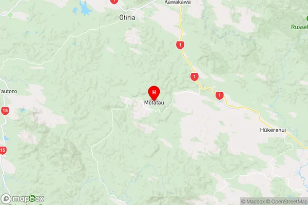
NorthlandMotatau Region Map
Coordinates
-35.4899549,174.0357761 (latitude/longitude)Distances
The distance from Motatau, Kawakawa, Far North District to NZ Top 10 Cities