Ballance Area, Ballance Postcode(4983) & Map in Ballance
Ballance Area, Ballance Postcode(4983) & Map in Ballance, Tararua District, New Zealand
Ballance, Tararua District, New Zealand
Ballance Postcodes
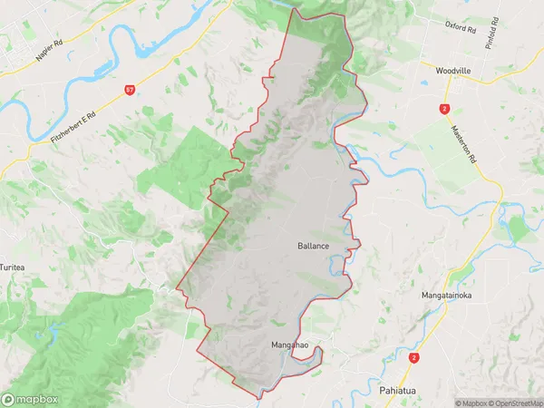
Ballance Area (estimated)
80.9 square kilometersBallance Population (estimated)
159 people live in Ballance, Manawatu-Wanganui, NZBallance Suburb Area Map (Polygon)
Ballance Introduction
Ballance is a small rural town in the Manawatu-Wanganui region of New Zealand. It is located on the banks of the Ruahine River and is known for its scenic countryside and historic buildings. The town has a population of around 1,000 people and is a popular destination for tourists and outdoor enthusiasts.Region
Major City
Suburb Name
BallanceOther Name(s)
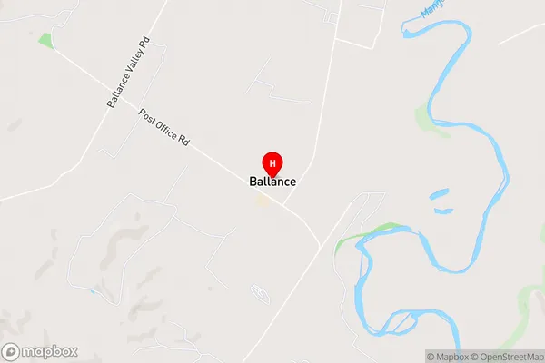
MangahaoBallance Area Map (Street)
Local Authority
Tararua DistrictFull Address
Ballance, Tararua District, New ZealandAddress Type
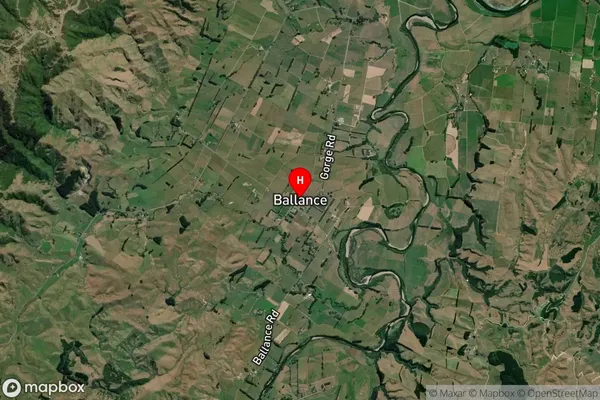
Locality in Town PahiatuaBallance Suburb Map (Satellite)
Country
Main Region in AU
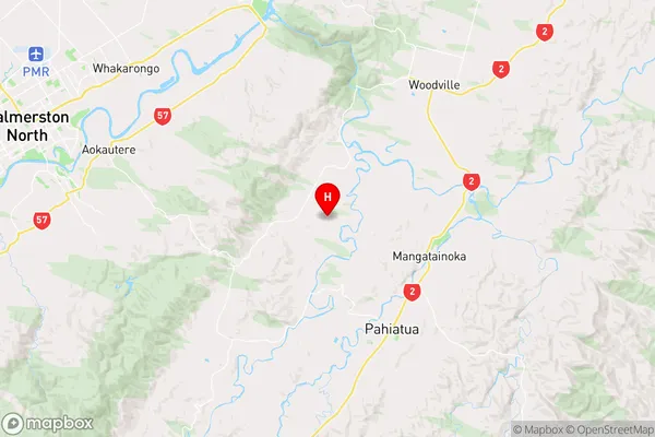
Manawatu-WanganuiBallance Region Map
Coordinates
-40.400542,175.8002402 (latitude/longitude)Distances
The distance from Ballance, Pahiatua, Tararua District to NZ Top 10 Cities