Moonlight Area, Moonlight Postcode & Map in Moonlight
Moonlight Area, Moonlight Postcode & Map in Moonlight, Waitaki District, New Zealand
Moonlight, Waitaki District, New Zealand
Moonlight Area (estimated)
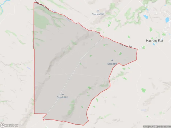
81.2 square kilometersMoonlight Population (estimated)
28 people live in Moonlight, Otago, NZMoonlight Suburb Area Map (Polygon)
Moonlight Introduction
Macraes Flat is a small farming community located in the Otago region of New Zealand. It is known for its stunning natural scenery, including the Moonlight Mountains and the Macraes River. The community has a population of around 100 people and is home to a variety of businesses, including a hotel, a farm store, and a cafe. The area is popular with tourists and outdoor enthusiasts, who enjoy hiking, skiing, and fishing in the surrounding mountains and rivers.Region
0Suburb Name
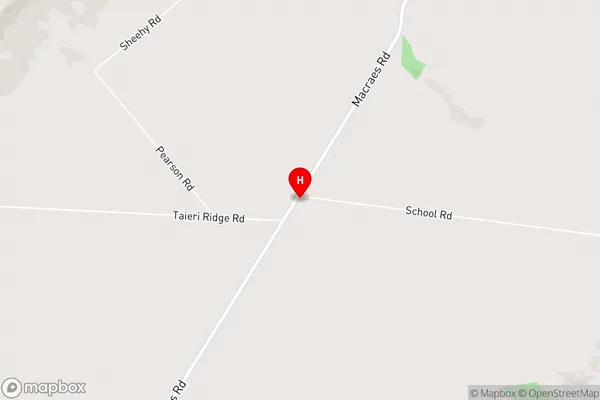
MoonlightMoonlight Area Map (Street)
Local Authority
Waitaki DistrictFull Address
Moonlight, Waitaki District, New ZealandAddress Type
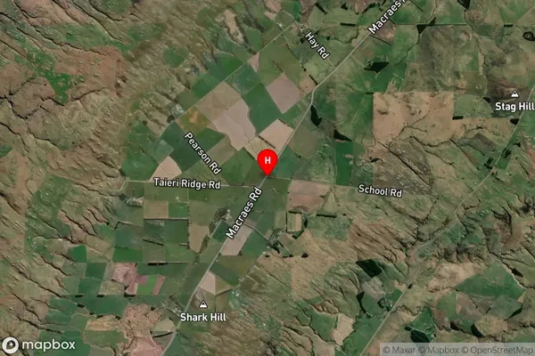
Locality in Major Locality Macraes FlatMoonlight Suburb Map (Satellite)
Country
Main Region in AU
OtagoMoonlight Region Map

Coordinates
-45.410152,170.3316021 (latitude/longitude)Distances
The distance from Moonlight, Macraes Flat, Waitaki District to NZ Top 10 Cities