Mokoreta Area, Mokoreta Postcode(9892) & Map in Mokoreta
Mokoreta Area, Mokoreta Postcode(9892) & Map in Mokoreta, Southland District, New Zealand
Mokoreta, Southland District, New Zealand
Mokoreta Postcodes
Mokoreta Area (estimated)
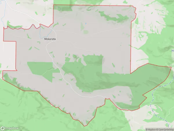
80.7 square kilometersMokoreta Population (estimated)
73 people live in Mokoreta, Waihopai Toetoe Community, NZMokoreta Suburb Area Map (Polygon)
Mokoreta Introduction
Mokoreta is a small settlement in Southland, New Zealand, located on State Highway 6. It is situated between the Wyndham and Gore townships and is surrounded by stunning natural landscapes, including the Mokoreta Forest Park and the Blue Mountains. The settlement has a population of around 100 people and is known for its friendly community and picturesque surroundings.Region
Major City
Suburb Name
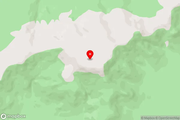
MokoretaMokoreta Area Map (Street)
Local Authority
Southland DistrictFull Address
Mokoreta, Southland District, New ZealandAddress Type
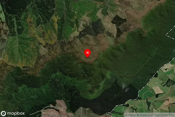
Locality in Town WyndhamMokoreta Suburb Map (Satellite)
Country
Main Region in AU
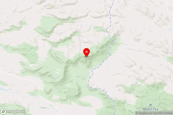
SouthlandMokoreta Region Map
Coordinates
-46.3314,169.13142 (latitude/longitude)Distances
The distance from Mokoreta, Wyndham, Southland District to NZ Top 10 Cities