Moetapu Bay Area, Moetapu Bay Postcode & Map in Moetapu Bay
Moetapu Bay Area, Moetapu Bay Postcode & Map in Moetapu Bay, Marlborough District, New Zealand
Moetapu Bay, Marlborough District, New Zealand
Moetapu Bay Area (estimated)
8.7 square kilometersMoetapu Bay Population (estimated)
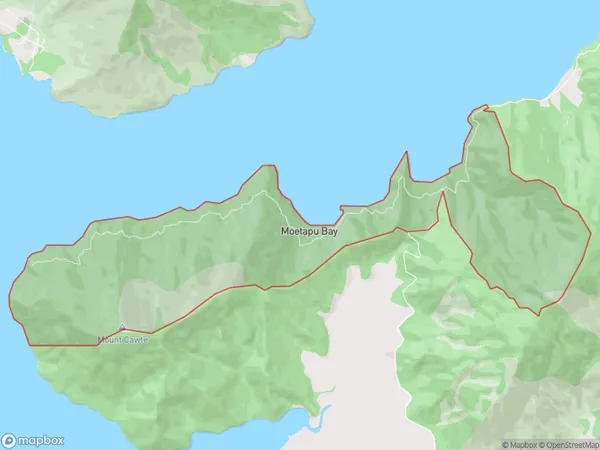
85 people live in Moetapu Bay, Marlborough, NZMoetapu Bay Suburb Area Map (Polygon)
Moetapu Bay Introduction
Moetapu Bay is a picturesque beach located in Linkwater, Marlborough, New Zealand. It is known for its stunning turquoise waters, white sand, and stunning coastal views. The bay is a popular spot for swimming, sunbathing, and fishing, and it is surrounded by lush green hills and vineyards. Visitors can also enjoy a walk along the beach or explore the nearby Moetapu Reserve, which is home to a variety of native birds and plants.Region
0Suburb Name
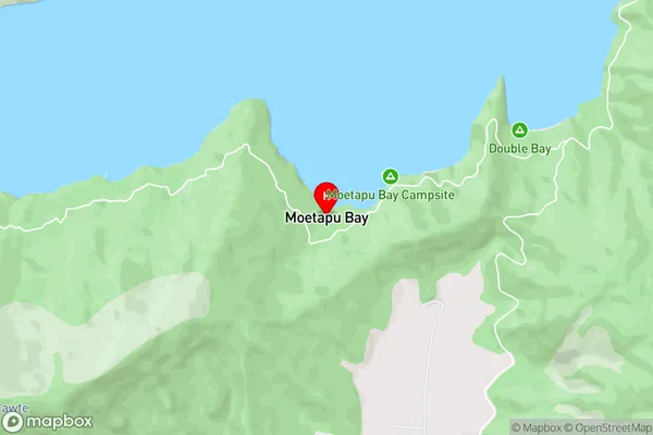
Moetapu BayMoetapu Bay Area Map (Street)
Local Authority
Marlborough DistrictFull Address
Moetapu Bay, Marlborough District, New ZealandAddress Type
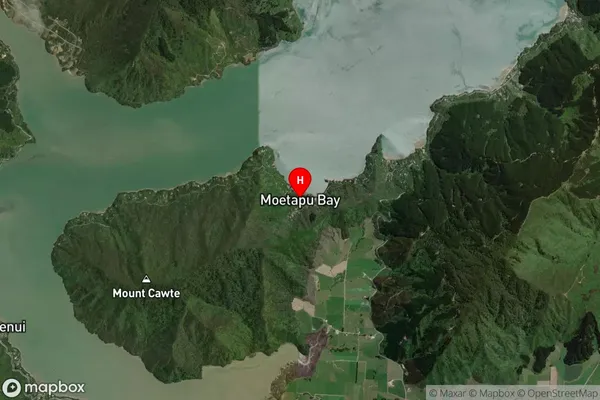
Locality in Major Locality LinkwaterMoetapu Bay Suburb Map (Satellite)
Country
Main Region in AU
MarlboroughMoetapu Bay Region Map

Coordinates
-41.262057,173.8498533 (latitude/longitude)Distances
The distance from Moetapu Bay, Linkwater, Marlborough District to NZ Top 10 Cities