Moeawatea Area, Moeawatea Postcode & Map in Moeawatea
Moeawatea Area, Moeawatea Postcode & Map in Moeawatea, South Taranaki District, New Zealand
Moeawatea, South Taranaki District, New Zealand
Moeawatea Area (estimated)
119.3 square kilometersMoeawatea Population (estimated)
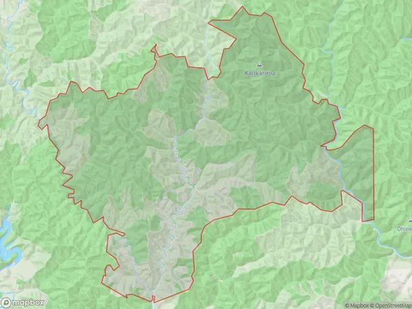
0 people live in Moeawatea, Taranaki, NZMoeawatea Suburb Area Map (Polygon)
Moeawatea Introduction
Moeawatea is a small rural community located in the Waverley district of Taranaki, New Zealand. It is situated on the banks of the Moeawatea River, approximately 30 kilometers southeast of New Plymouth. The area is known for its scenic rural landscapes, including rolling hills, farmland, and native forests. Moeawatea has a population of around 500 people and is home to a primary school, a church, and a small convenience store. The community is surrounded by picturesque farmland and is a popular destination for outdoor activities such as hiking, fishing, and hunting.Region
Major City
Suburb Name
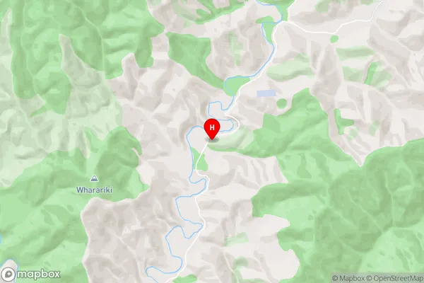
MoeawateaMoeawatea Area Map (Street)
Local Authority
South Taranaki DistrictFull Address
Moeawatea, South Taranaki District, New ZealandAddress Type
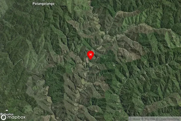
Locality in Town WaverleyMoeawatea Suburb Map (Satellite)
Country
Main Region in AU
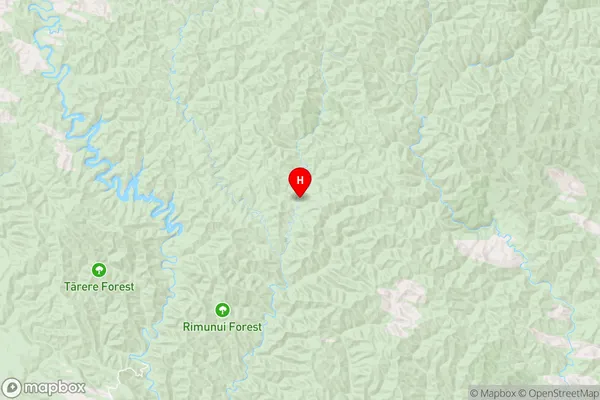
TaranakiMoeawatea Region Map
Coordinates
-39.5277947,174.6527267 (latitude/longitude)Distances
The distance from Moeawatea, Waverley, South Taranaki District to NZ Top 10 Cities