Balfour Area, Balfour Postcode(9746) & Map in Balfour
Balfour Area, Balfour Postcode(9746) & Map in Balfour, Southland District, New Zealand
Balfour, Southland District, New Zealand
Balfour Area (estimated)
53.5 square kilometersBalfour Population (estimated)
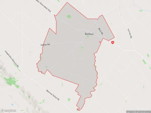
234 people live in Balfour, Southland, NZBalfour Suburb Area Map (Polygon)
Balfour Introduction
Balfour is a small town in Southland, New Zealand, with a population of around 1,000 people. It is located on the banks of the Balfour River and is known for its scenic surroundings, including the nearby Fiordland National Park. The town was founded in 1876 and has a rich history of farming and forestry. It is also home to a number of historic buildings, including the Balfour Hotel, which was built in 1889.Region
Major City
Suburb Name
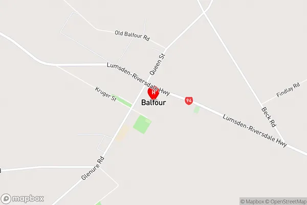
BalfourBalfour Area Map (Street)
Local Authority
Southland DistrictFull Address
Balfour, Southland District, New ZealandAddress Type
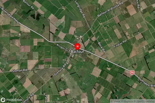
Locality in Major Locality BalfourBalfour Suburb Map (Satellite)
Country
Main Region in AU
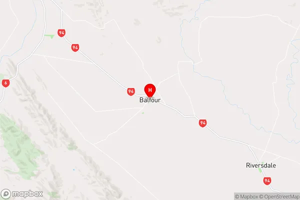
SouthlandBalfour Region Map
Coordinates
-45.8387858,168.5914066 (latitude/longitude)Distances
The distance from Balfour, Balfour, Southland District to NZ Top 10 Cities