Mimihau Area, Mimihau Postcode(9831) & Map in Mimihau
Mimihau Area, Mimihau Postcode(9831) & Map in Mimihau, Southland District, New Zealand
Mimihau, Southland District, New Zealand
Mimihau Postcodes
Mimihau Area (estimated)
27.5 square kilometersMimihau Population (estimated)
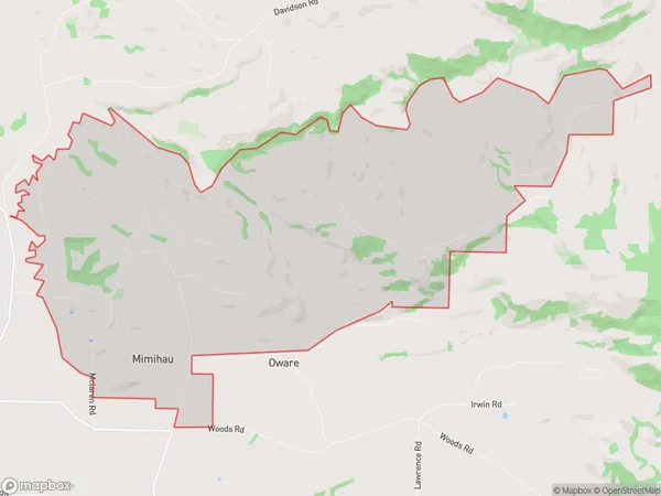
51 people live in Mimihau, Waihopai Toetoe Community, NZMimihau Suburb Area Map (Polygon)
Mimihau Introduction
Mimihau is a small rural community in Southland, New Zealand. It is located on State Highway 6 and is surrounded by stunning natural landscapes, including the Mataura River and the Southern Alps. The community has a population of around 100 people and is known for its friendly and welcoming atmosphere. Mimihau also has a primary school, a post office, and a small supermarket.Region
Major City
Suburb Name
MimihauOther Name(s)
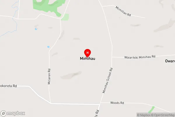
Tuturau SouthMimihau Area Map (Street)
Local Authority
Southland DistrictFull Address
Mimihau, Southland District, New ZealandAddress Type
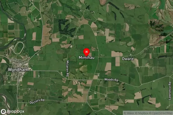
Locality in Town WyndhamMimihau Suburb Map (Satellite)
Country
Main Region in AU
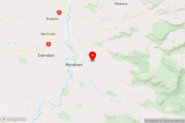
SouthlandMimihau Region Map
Coordinates
-46.32405,168.88847 (latitude/longitude)Distances
The distance from Mimihau, Wyndham, Southland District to NZ Top 10 Cities