Milford Area, Milford Postcode(0620) & Map in Milford
Milford Area, Milford Postcode(0620) & Map in Milford, Timaru District, New Zealand
Milford, Timaru District, New Zealand
Milford Postcodes
Milford Area (estimated)
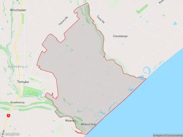
56.2 square kilometersMilford Population (estimated)
366 people live in Milford, Canterbury, NZMilford Suburb Area Map (Polygon)
Milford Introduction
Milford is a small town in Temuka, Canterbury, New Zealand. It is located on the banks of the Hurunui River and is known for its scenic beauty and outdoor activities. The town has a population of around 5,000 people and is a popular destination for tourists and outdoor enthusiasts. Milford Sound is a nearby natural wonder that attracts thousands of visitors each year.Region
Major City
Suburb Name
MilfordOther Name(s)
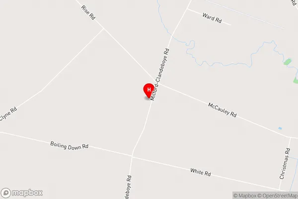
Browns Beach, Milford Huts, OrakipaoaMilford Area Map (Street)
Local Authority
Timaru DistrictFull Address
Milford, Timaru District, New ZealandAddress Type
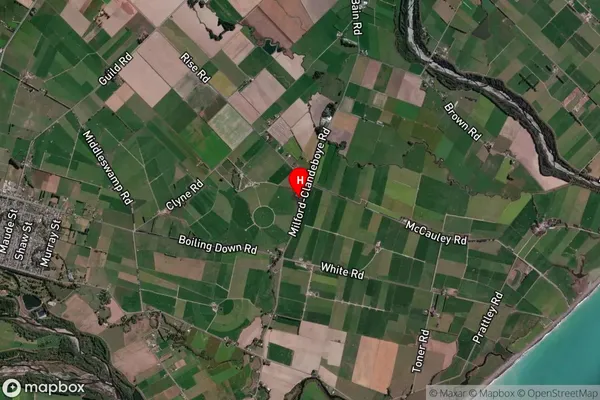
Locality in Town TemukaMilford Suburb Map (Satellite)
Country
Main Region in AU
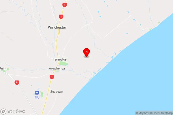
CanterburyMilford Region Map
Coordinates
-44.240953,171.34433 (latitude/longitude)Distances
The distance from Milford, Temuka, Timaru District to NZ Top 10 Cities