Milburn Area, Milburn Postcode(9291) & Map in Milburn
Milburn Area, Milburn Postcode(9291) & Map in Milburn, Clutha District, New Zealand
Milburn, Clutha District, New Zealand
Milburn Postcodes
Milburn Area (estimated)
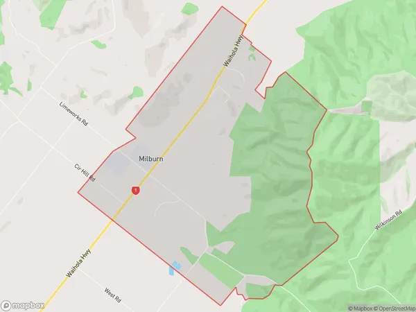
12.3 square kilometersMilburn Population (estimated)
368 people live in Milburn, Otago, NZMilburn Suburb Area Map (Polygon)
Milburn Introduction
Milburn is a small rural town in Otago, New Zealand, located 12 km south of Milton. It was established in 1865 and named after a Scottish town. The town has a population of around 1,000 people and is known for its scenic surroundings, including the Milburn Forest and the Otago Central Rail Trail. The local economy is primarily based on farming and forestry.Region
Major City
Suburb Name
MilburnOther Name(s)
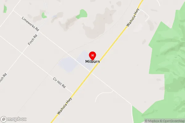
KapitiMilburn Area Map (Street)
Local Authority
Clutha DistrictFull Address
Milburn, Clutha District, New ZealandAddress Type
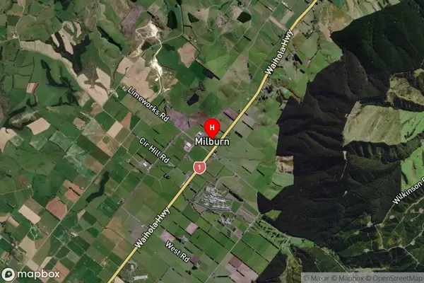
Locality in Town MiltonMilburn Suburb Map (Satellite)
Country
Main Region in AU
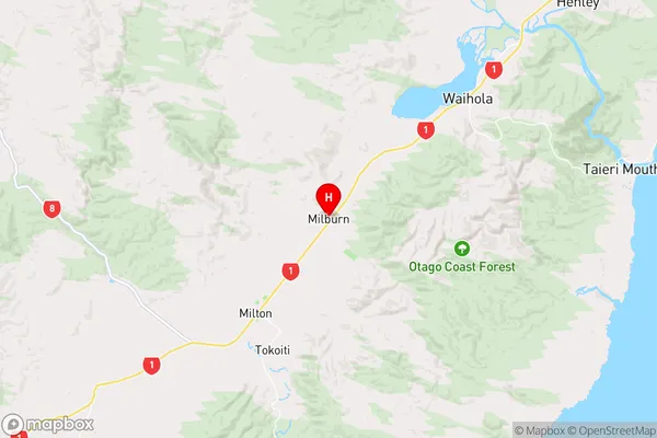
OtagoMilburn Region Map
Coordinates
-46.0757945,170.0082527 (latitude/longitude)Distances
The distance from Milburn, Milton, Clutha District to NZ Top 10 Cities